
- From Upham, via Monarch’s Way to Owlesbury: 21 August 2021
- Walk Leader: Val
- Distance: 10 Miles
- Start: 10am in churchyard in front of Church of the Blessed Mary, Church Street, Upham – GR: SU539 206
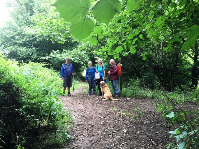
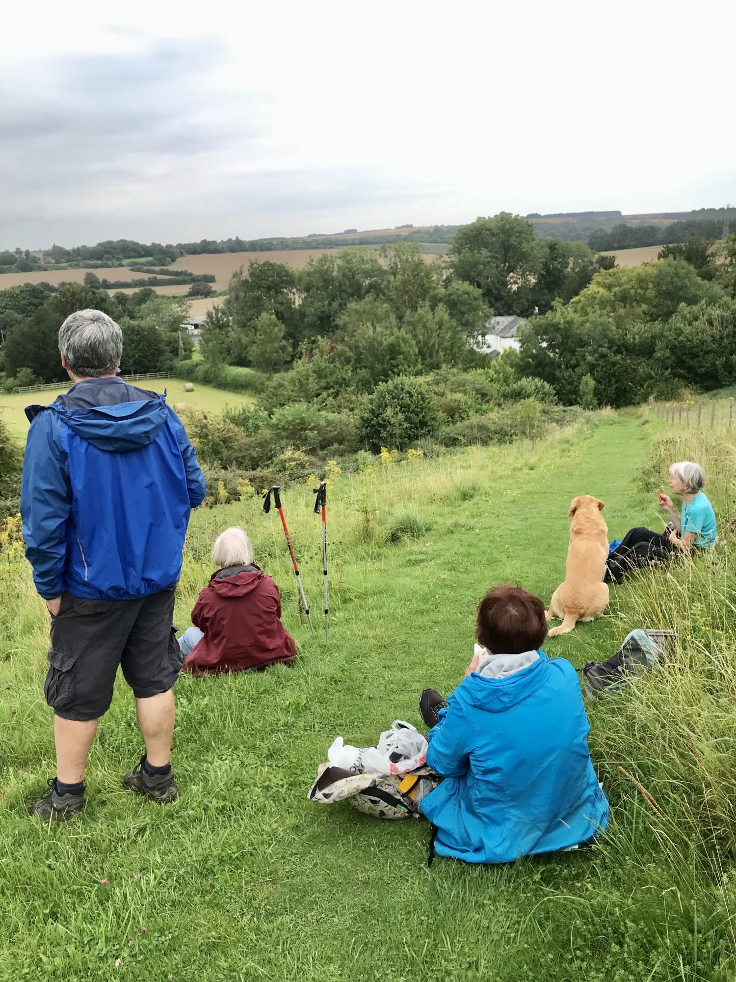
The weather forecast early this morning was somewhat contrary, but happily in our favour. Whist not exactly bathed in sunshine, apart from some half-hearted spits and spots the walk was completed in dry conditions. Perhaps because members were anticipating poor conditions, just a select few of us met at Upham – six in total not counting our canine walker who enthusiastically accompanied us. Rupert is a six year old golden Labrador with impeccable manners and friendly approach to one and all – two or four legged.
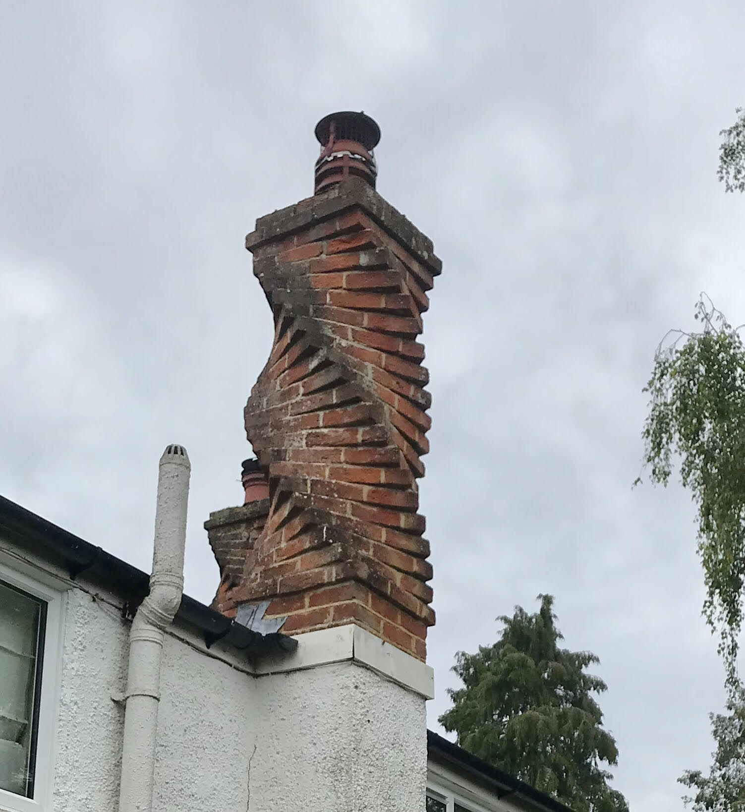
Our approximately 10 mile route began at the delightful little village of Upham and we set off along the quiet village road, past the church before turning onto Widlers Lane, where one of the cottages is adorned by three unusual spiral brick chimneys, and soon join the Monarch’s Way.
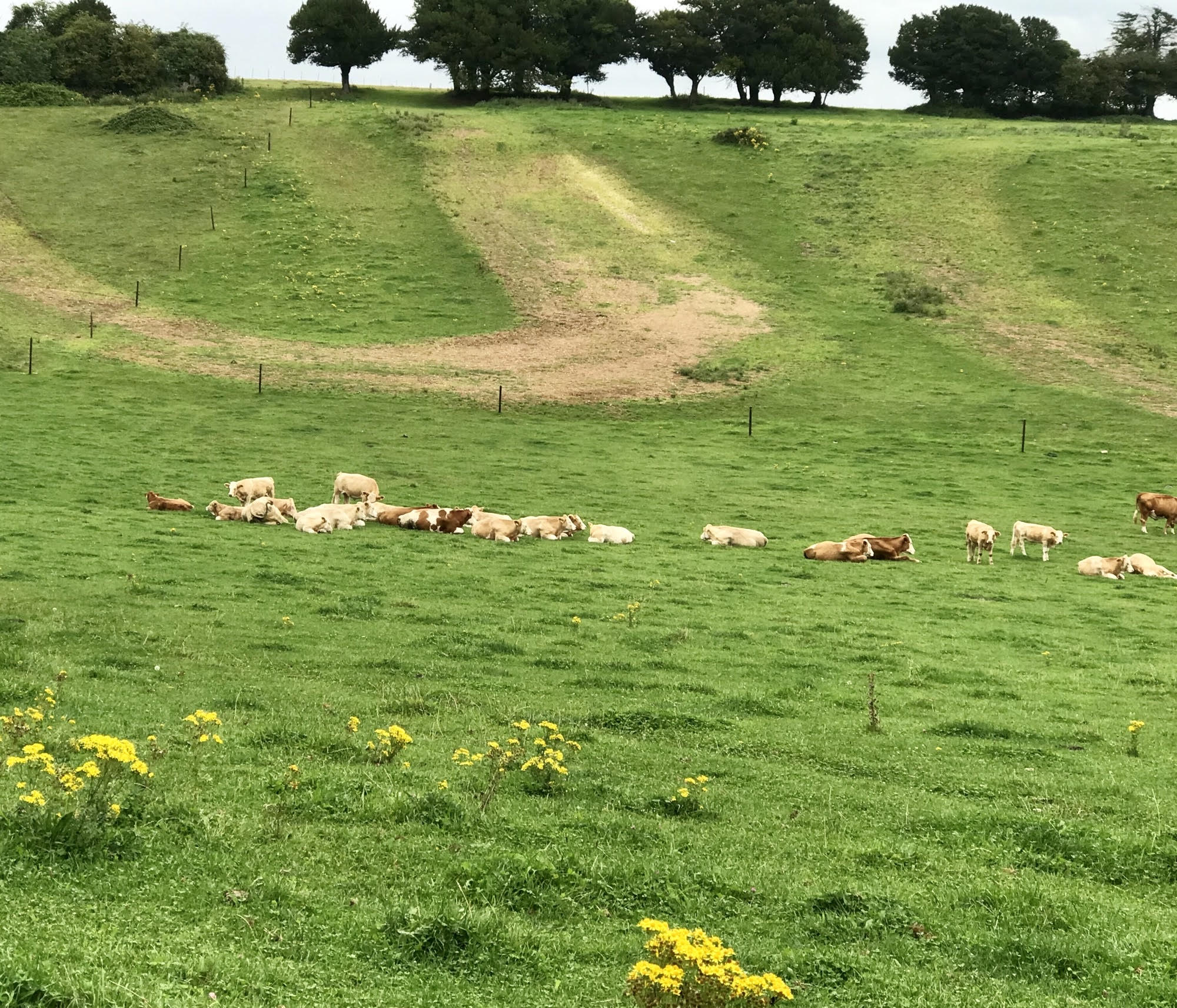
I’m sure many of us have walked stretches of this long distance route in various parts of the country as it wends its 625 mile long route. Starting in Worcester it follows King Charles II’s approximate escape route after he was defeated in the Battle of Worcester in 1651. From the Midlands via Bristol and Yeovil to Shoreham its end point is Shoreham by Sea in West Sussex (presumably he boarded a ship for France there?). We follow it in a pretty straight line heading north-west through wide arable fields, eventually reaching our first siting of Owslebury the last bit of walking through pastures passing a tranquil herd of cattle who happily were completely disinterested in us.
Through the village we continue out into open countryside and a coffee stop overlooking a pretty valley beyond.
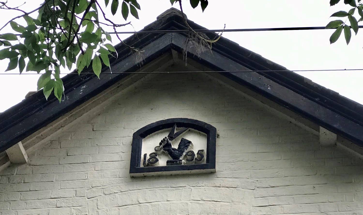
Joining a lane for a short stretch we pass a house which was formerly the Shearer’s Arms and, on a plaque, high under the eaves the date of 1859 intertwines with a pair of shears. Another of many indicators of how important sheep farming has been over the centuries on the South Downs.
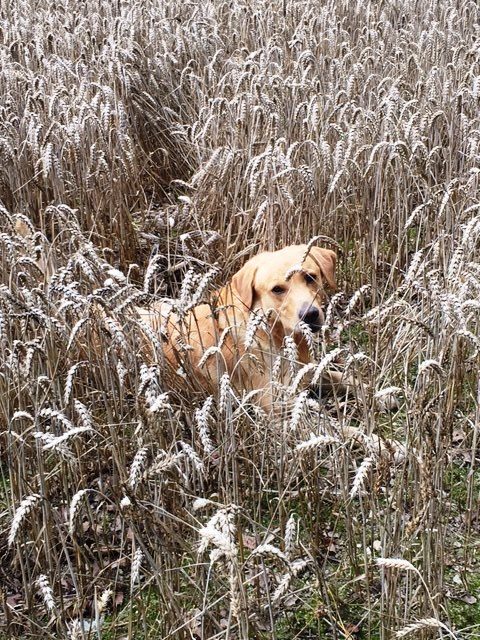
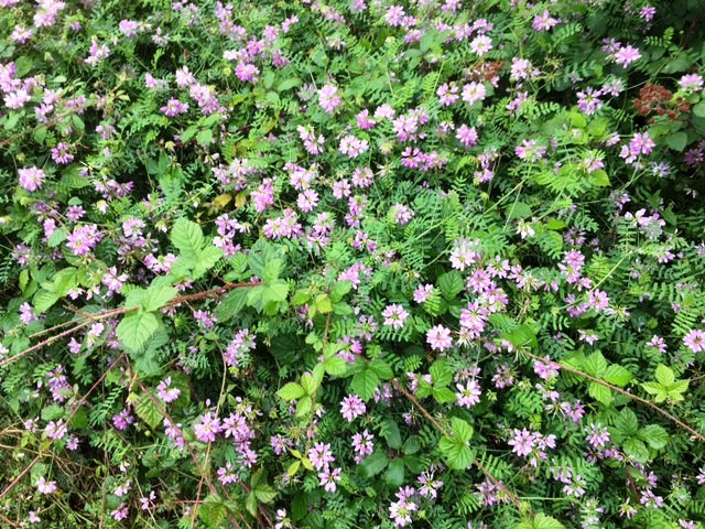
We strike off east along wide tracks, crossing a busy road eventually entering open broadleaved woodland where we bend around south and continue in and out of the woods. On the edge of one wide field not yet harvested we sit and have our lunch before pressing on to Whiteflood Farmhouse once more crossing a busy road. We’re now on the Allan King’s Way for a while. This way-marked route is new to most of us – a 45mile footpath which runs from Portchester to Winchester via Bishops Waltham and passes by sites such as Portchester Castle, Fort Nelson and Bishops Waltham Palace. It was created by the Hampshire Area of the Ramblers’ Association as a memorial to the late Allan King a former Publicity Officer who was partly responsible for the formation of a number of Groups in Hampshire. Perhaps a route Petersfield Ramblers might consider tackling in sections of linear stages in the future. It takes us up a fairly steep side of the Downs which make us puff, but is well worth the effort passing through swathes of delicate pale blue Harebells and many other wild flowers, turning to admire the view of the valley and slopes opposite before reaching the top at Woodlock’s Down Farm.

Now we zig-zag our way south, mostly descending until we re-join the Monarch’s Way to re-trace our steps back into the village.
A really enjoyable ramble in typical Hampshire countryside on paths completely new to me and in an unfamiliar area, but one of our group recognises parts of the route and unsurprisingly Petersfield Ramblers have walked this way before!
Val