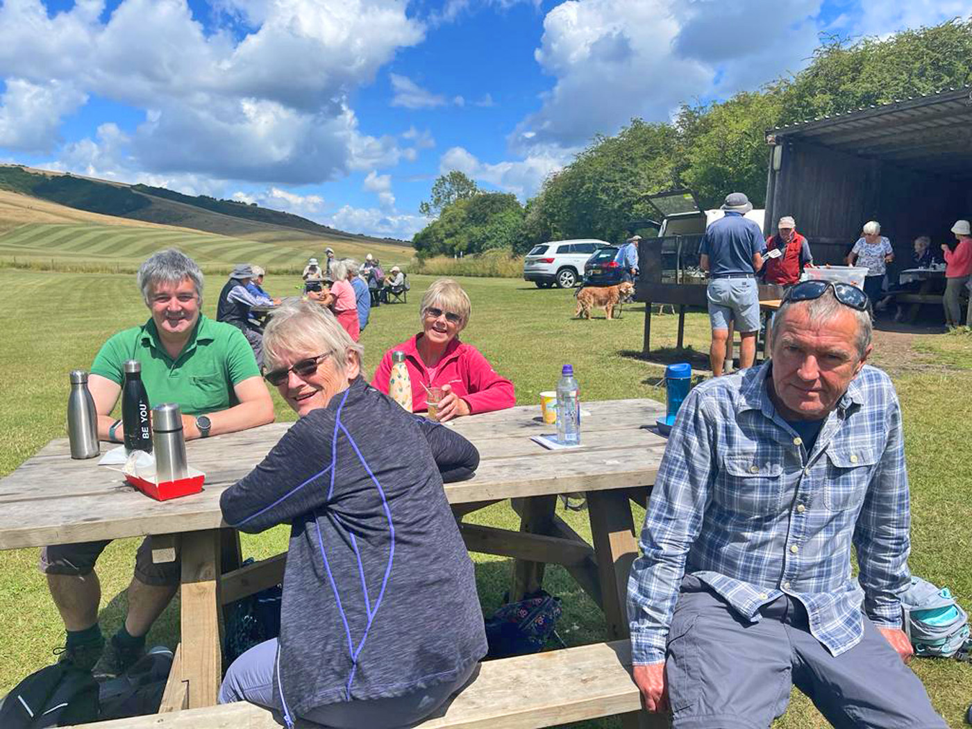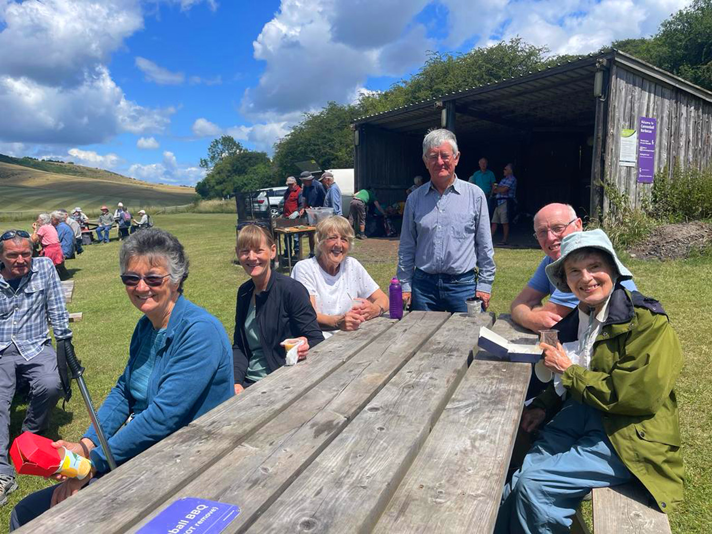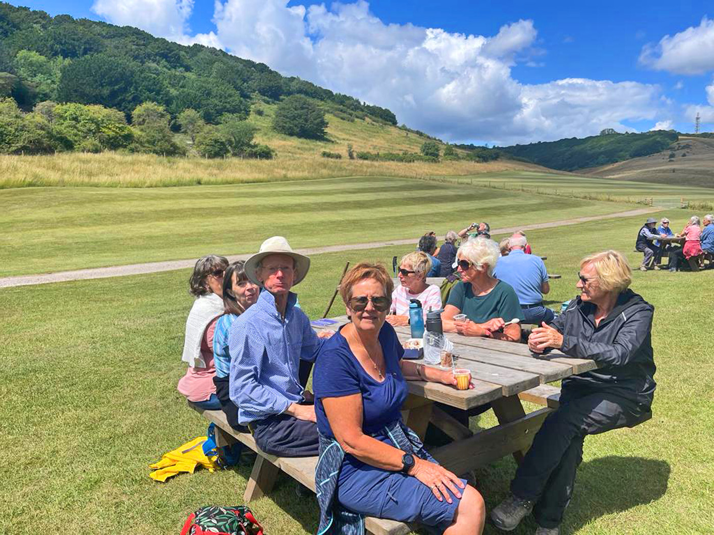
- Annual Holiday: Church Stretton, Shropshire
- Date: October 2023, DAY 3
- Distance: 12.5 Miles
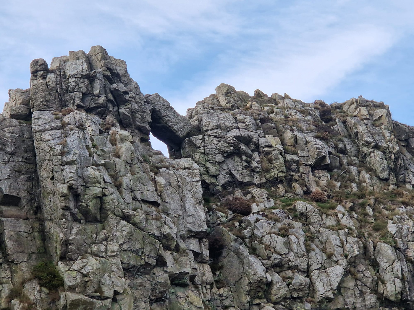
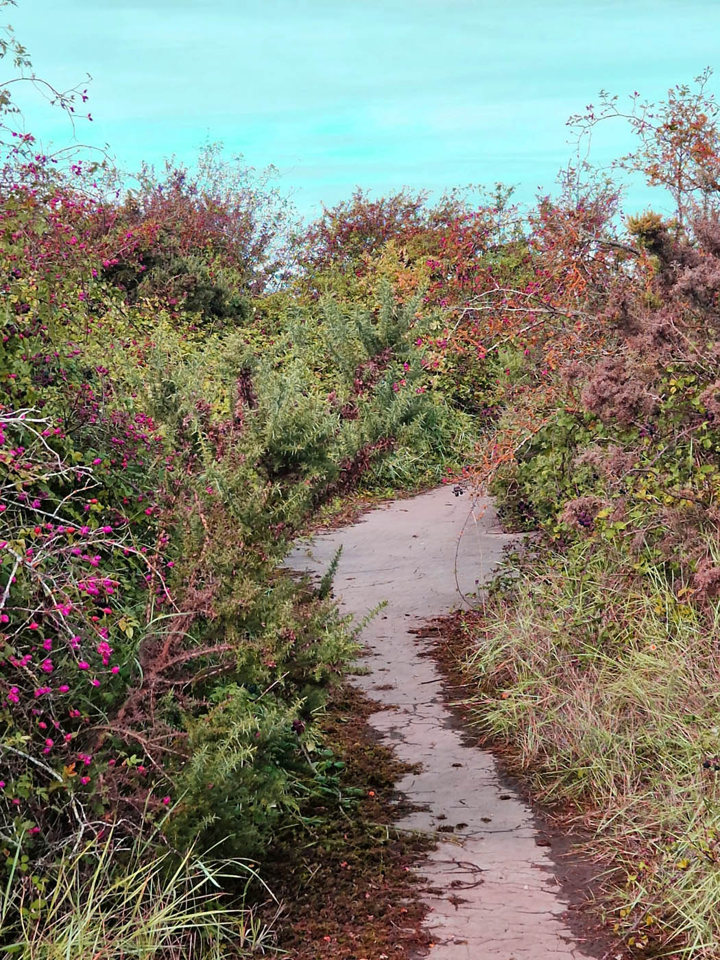
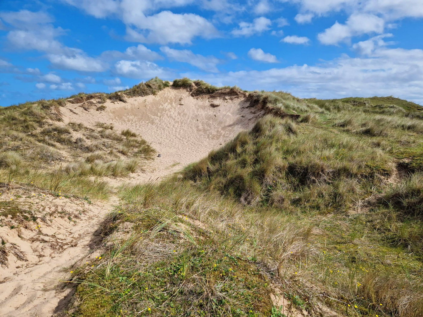
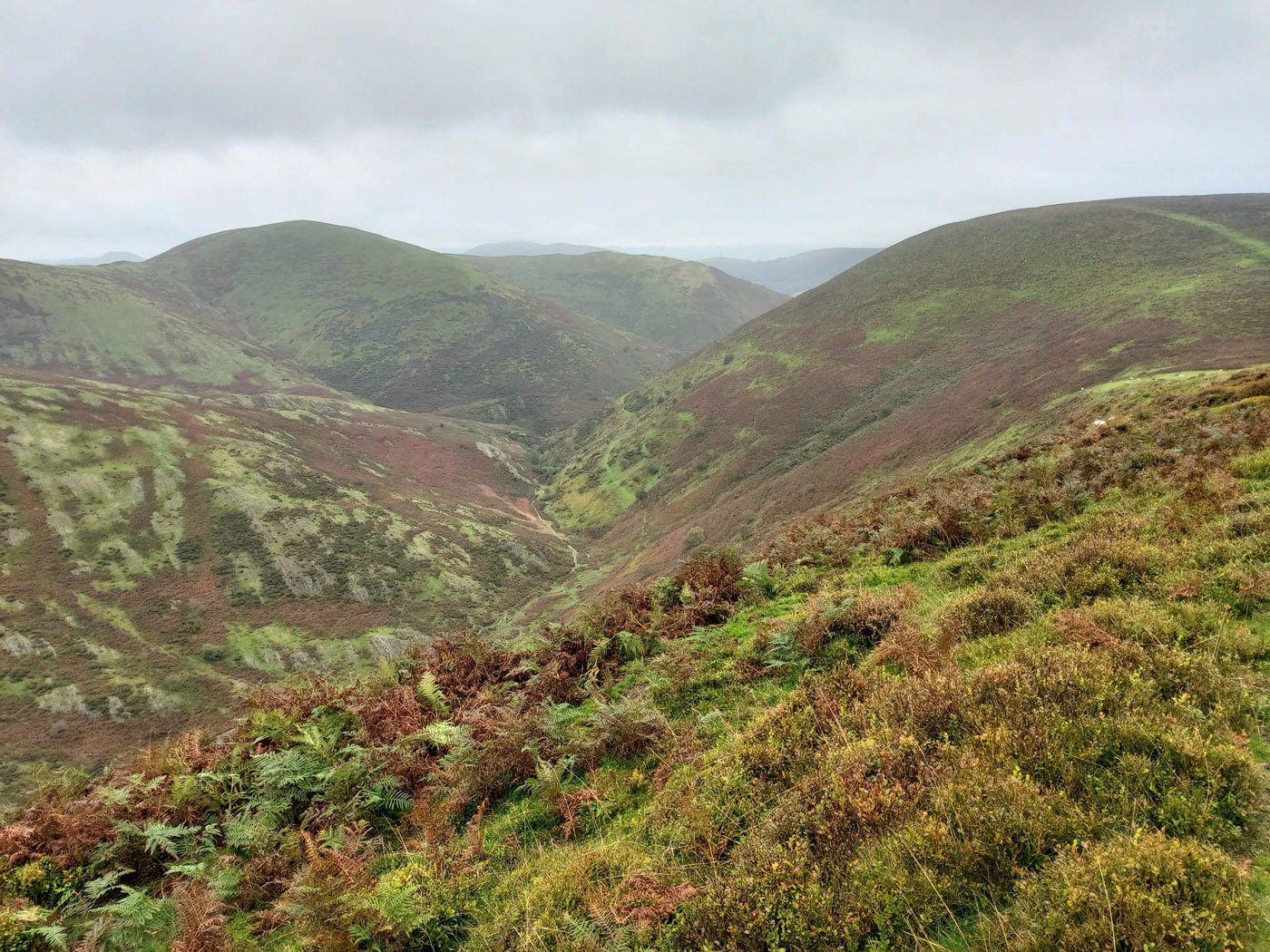
Our third and final walk took us to the Long Mynd, from which our HF holiday residence (Longmynd House) takes its name. The Longmynd – meaning ‘long mountain’ – is a heath and moorland plateau that forms part of the Shropshire Hills. It is approximately 7 miles long by 3 miles wide, running broadly north to south, and is characterised by steep valleys on its eastern flanks and a long slope to the western side. The high ground is common land and is a designated Area of Outstanding Natural Beauty. Much of it is owned by the National Trust and is managed by the Longmynd Commoners.
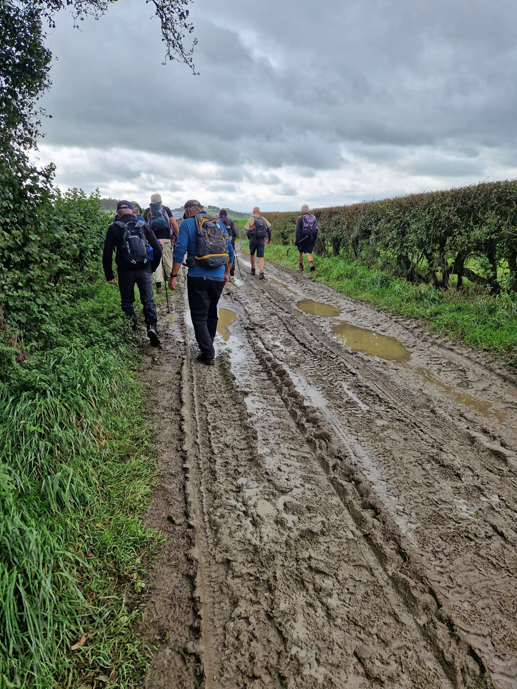
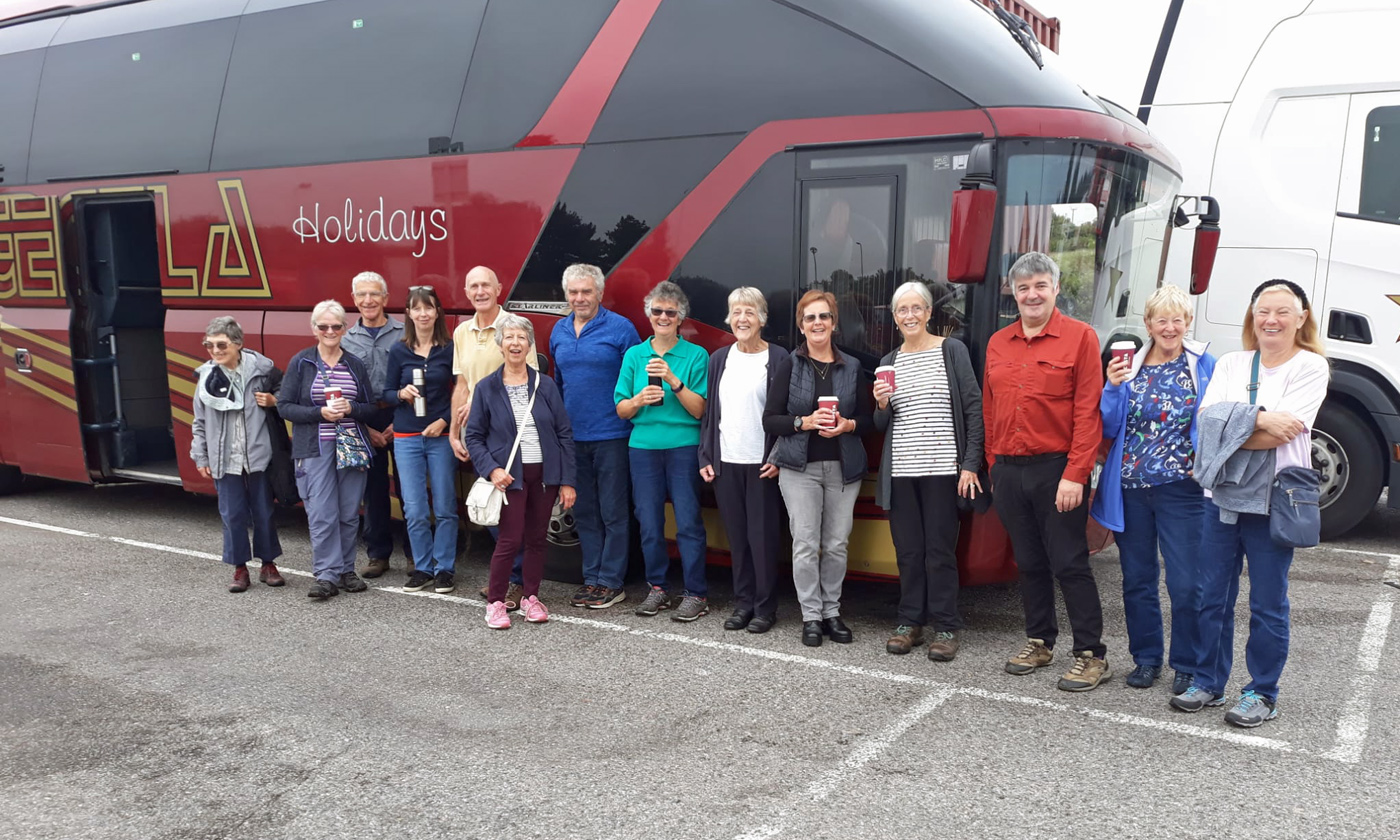
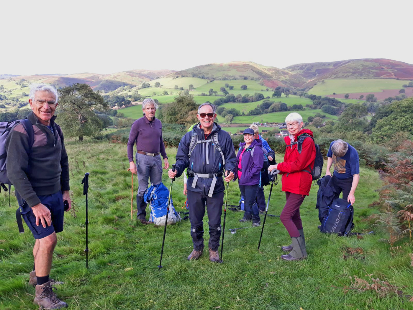
As the walk had been billed as more challenging than previous days (12.5 miles with 2,400ft ascent) and the weather forecast was for rain, a smaller group than normal gathered at 9:15 to head out from the house. Through almost 2 hours of persistent heavy drizzle, 8 walkers plus our leader – Edward – trudged to Little Stretton then up wooded slopes leading to a very steep climb through moorland to the top of Longmynd and beyond. Only on stopping to look back did we appreciate the impressive valley up which we had scrambled.
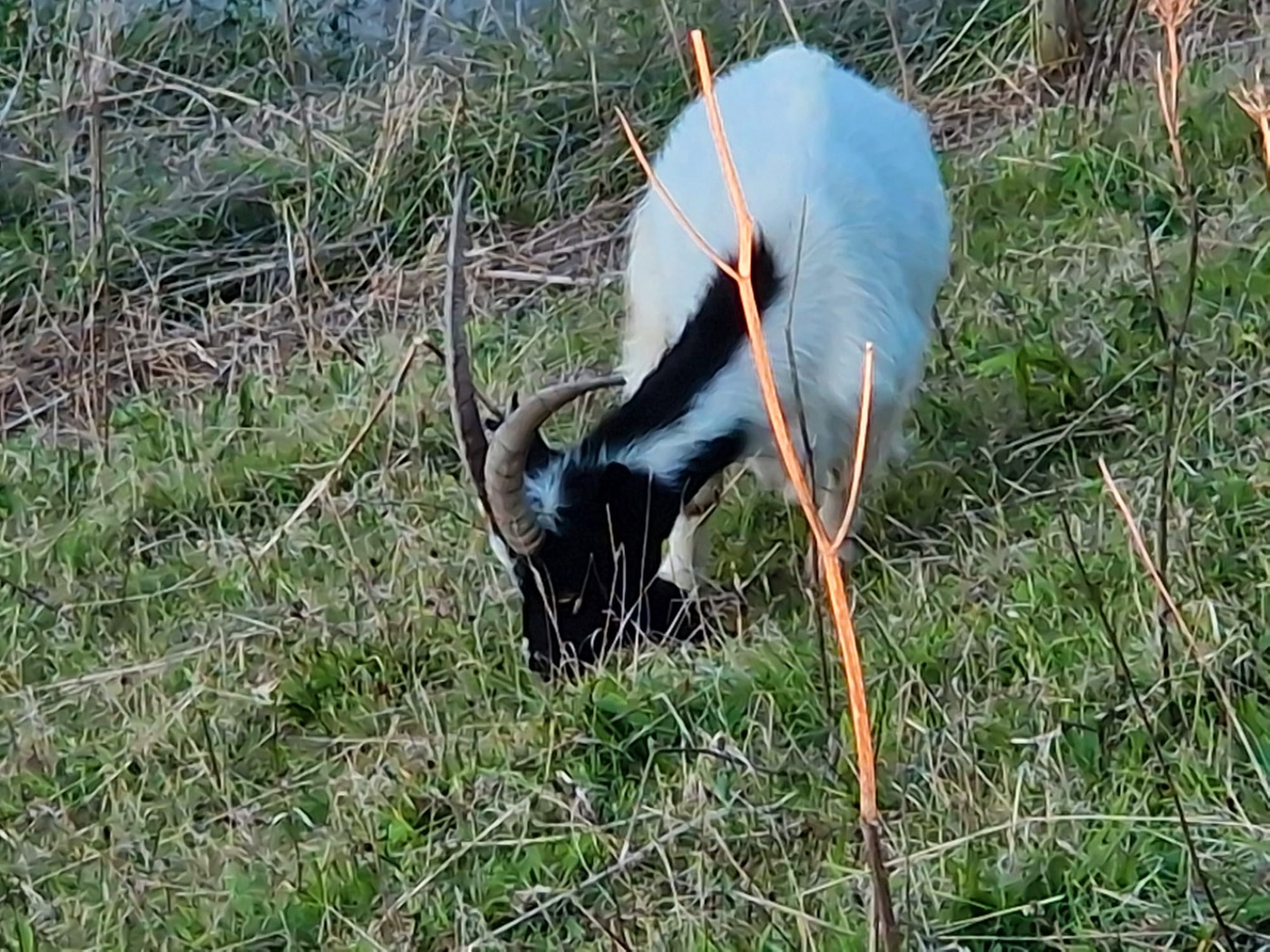
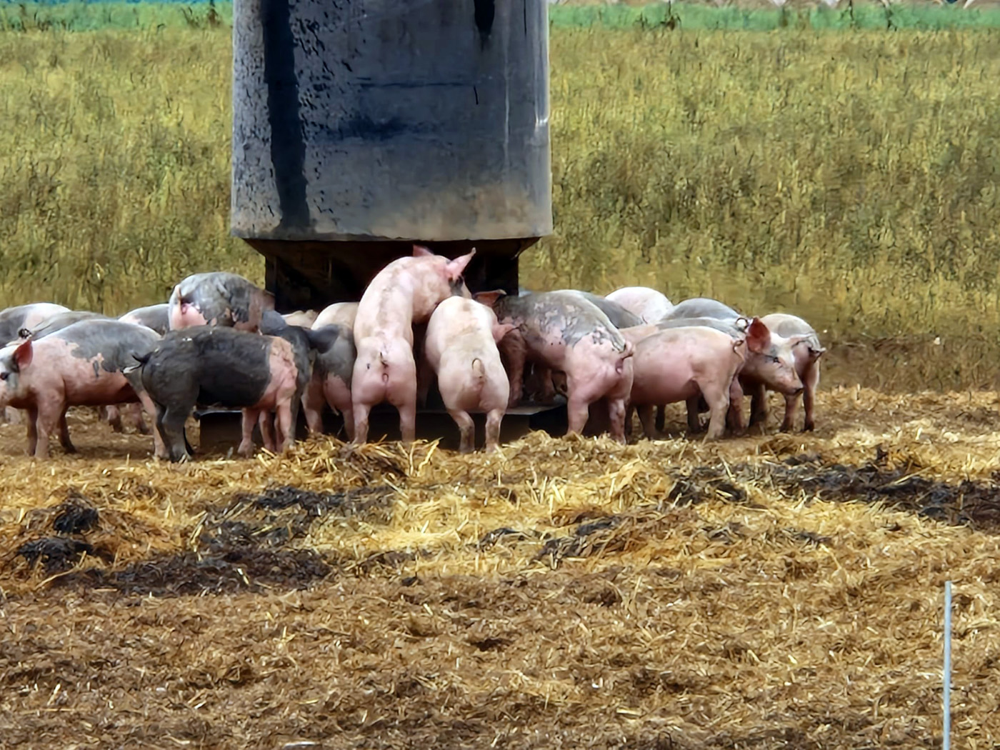
Before the commencement of the vast heather and bilberry moorland, we ascended through sheep fields where we watched a mighty ram saunter casually amongst his ewes, sniffing them for signs of interest! Further along – to our surprise – one ewe decided to join our ramble, trotting boldly within our midst for some distance! There was a fast-flowing stream to be crossed – luckily via a small bridge so our feet stayed dry, unlike the rest of us.


It transpired that Edward worked for the National Trust in the area so he was able to explain how the terrain was managed to preserve the biodiversity while accommodating the Commoners’ right to graze animals on the moor. Apparently the bracken on steeper slopes – which had been scythed until very recently – was now cut by robotic machines … though not always very successfully. Three robot cutters had to date tumbled down the slopes and been destroyed!
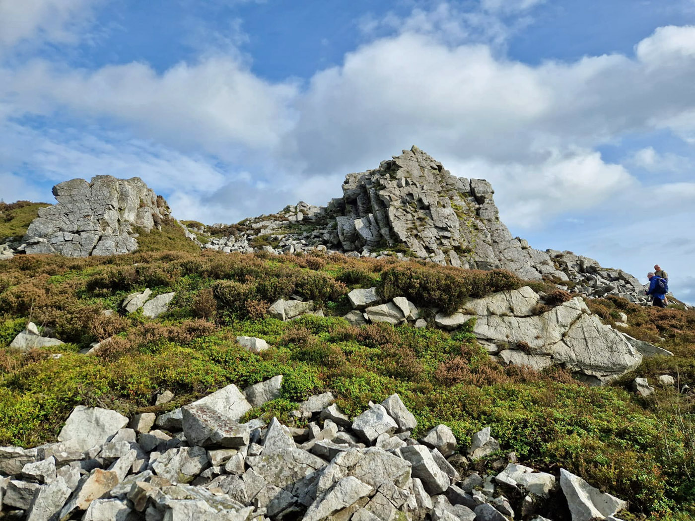
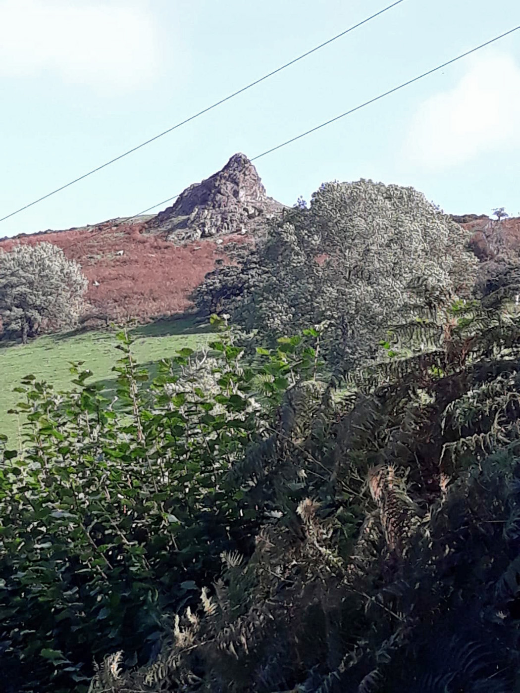
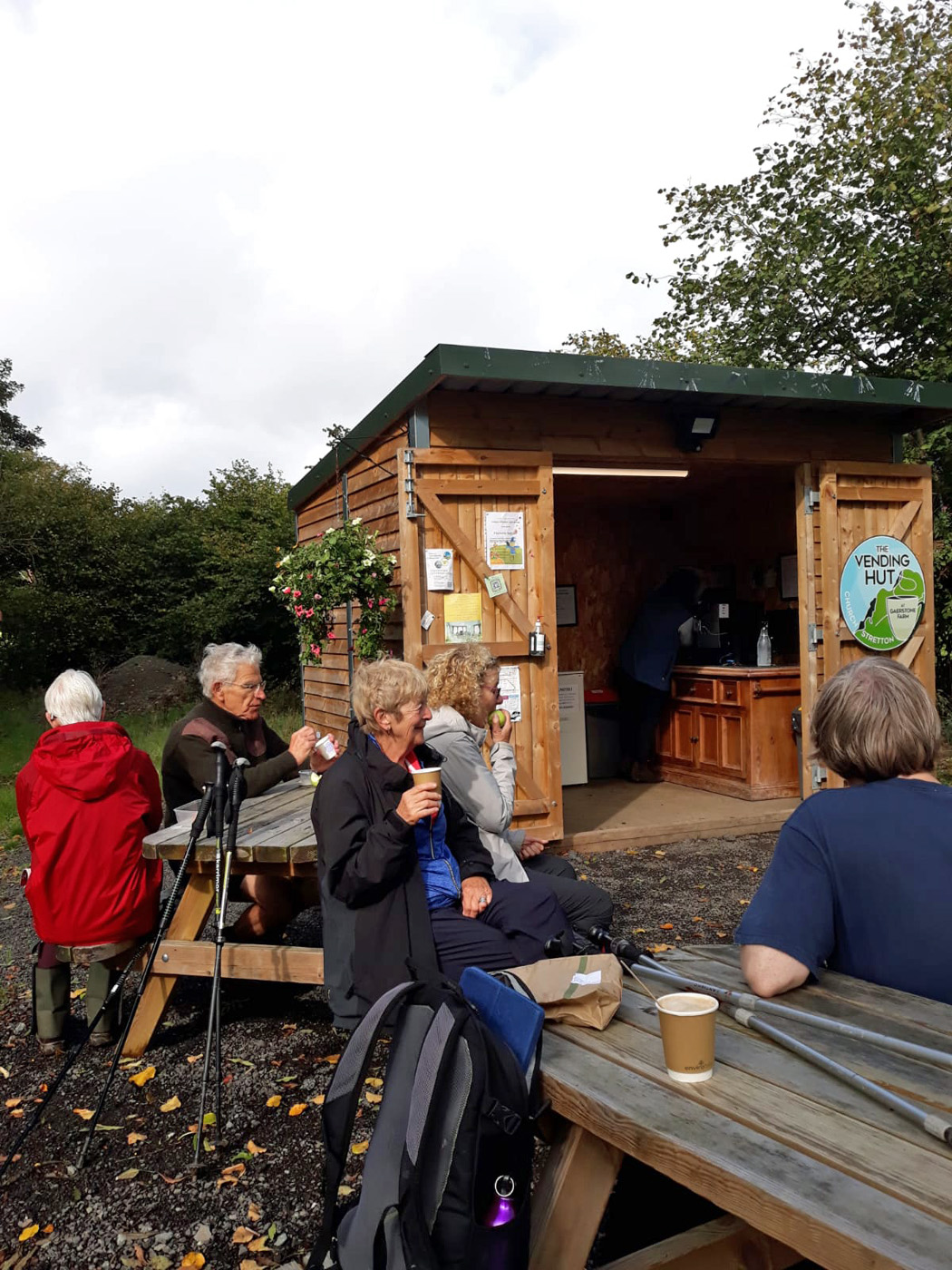
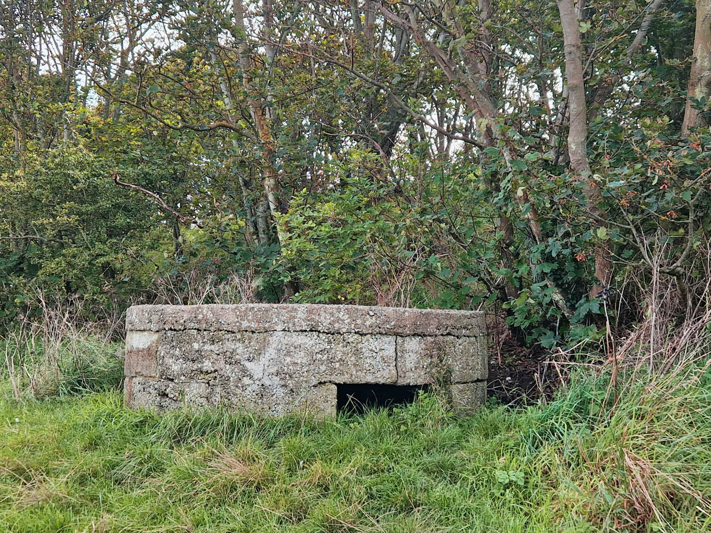
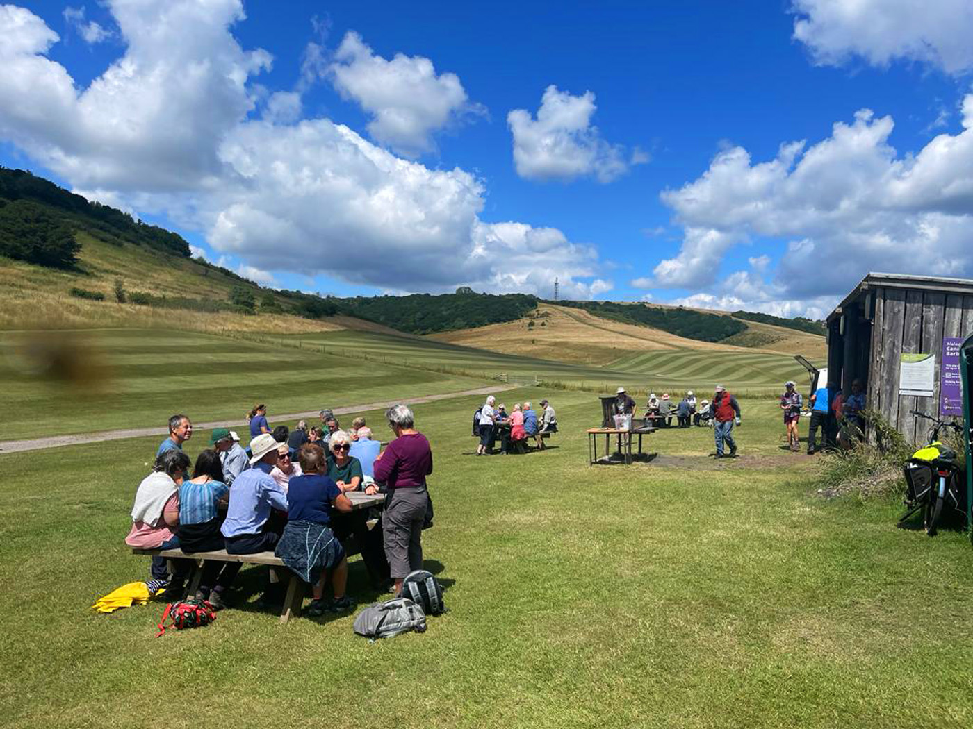
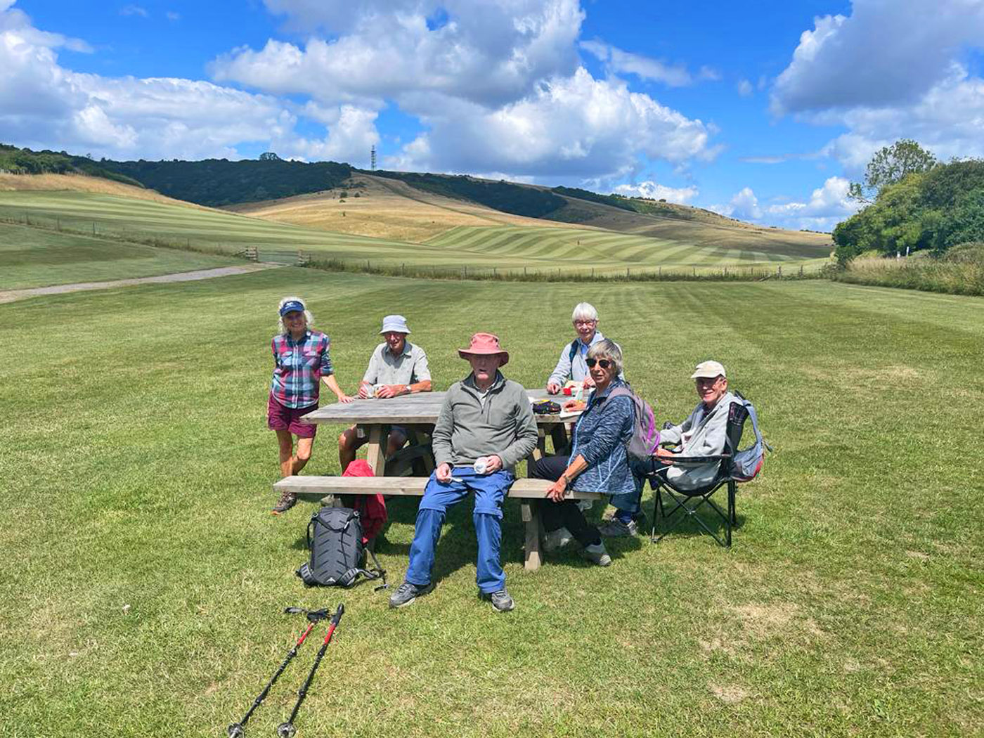
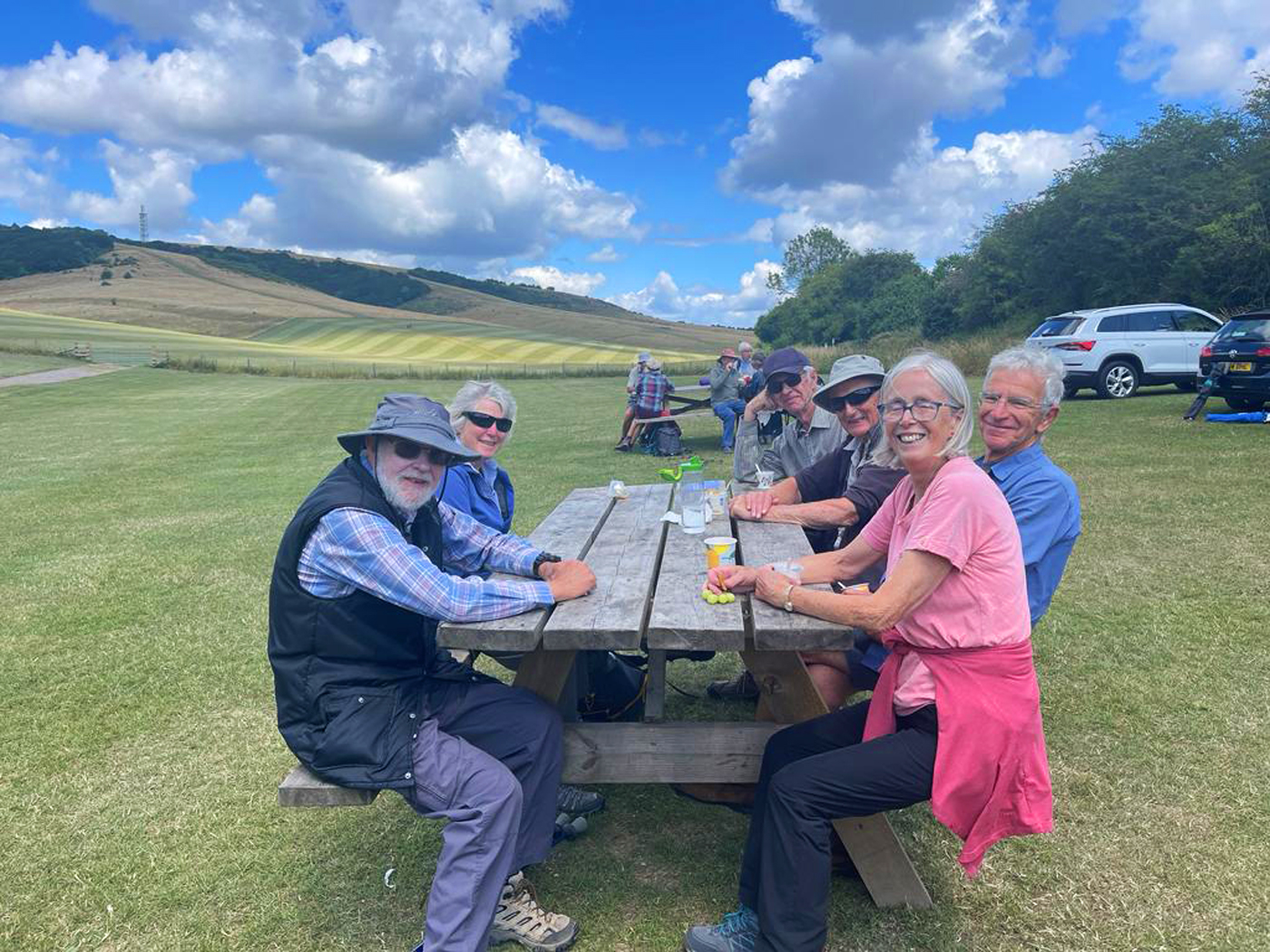
On reaching the top of the plateau we were met by a biting wind, adding coldness to our already quite damp selves. On we plodded – heads down, conversation muted – to a promised shelter at Pole Bank, the highest point on the Longmynd at 1,693ft. With great relief we bundled into the spacious shelter – made by Edward’s NT team from wooden trusses and corrugated iron – grateful to be out of the wind and rain. Warmed and refreshed from coffee and flapjack, we emerged into the elements to find that, fortunately, the showers had finally stopped. Rejuvenated we marched to the inevitable trig point, from where we could look westwards to the Stiperstone hills where we’d walked the day before. Edward described to us the Stepping Stones NT project that was developing a natural corridor from the Stiperstones to the Longmynd, working with local farmers, to enable species to move more easily between the two sets of hills.
From the trig point we took a steep descent off the Longmynd, crossing another stream. Alas, this time there was no bridge. Running through the water, unsurprisingly we got wet feet … just when the rest of us was at last drying out! We had lunch down in a valley before turning towards the Longmynd again for a long haul back up to the ridge, enjoying stunning views behind us. Crossing a remote farmyard on the way we encountered another four-legged friend who was keen to become a member of our party: this time a lovely black cat.

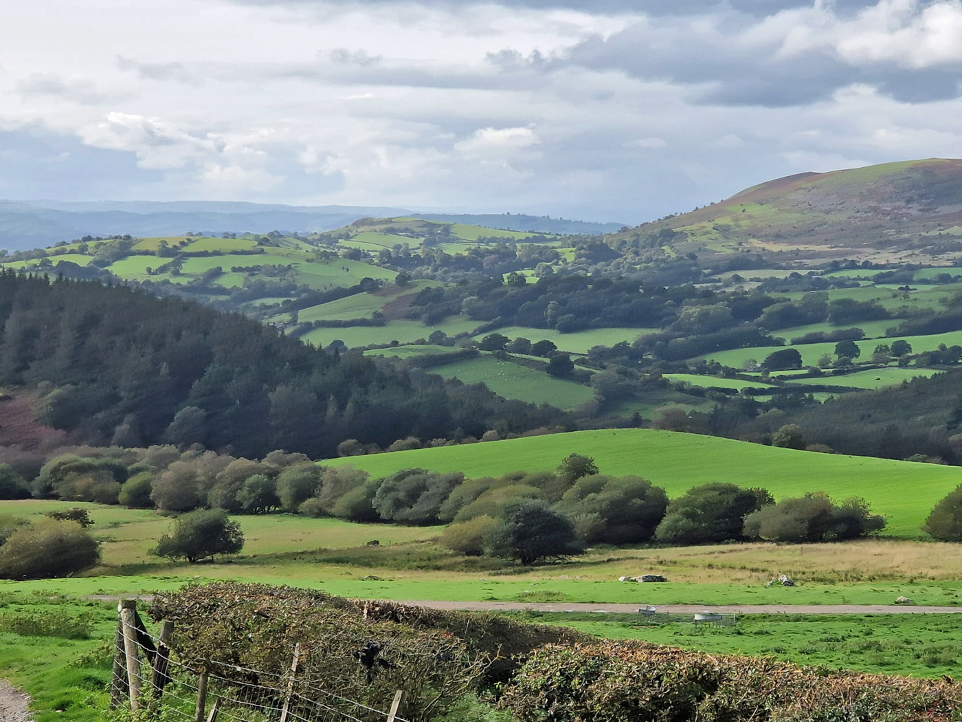
The trek across the Longmynd moor was fabulous: remote, wild, vast, on top of the world. As we approached the eastern flanks, three handsome horses grabbed our attention. They lived wild on the plateau, enjoying the Commoners’ grazing rights – rather like New Forest ponies.


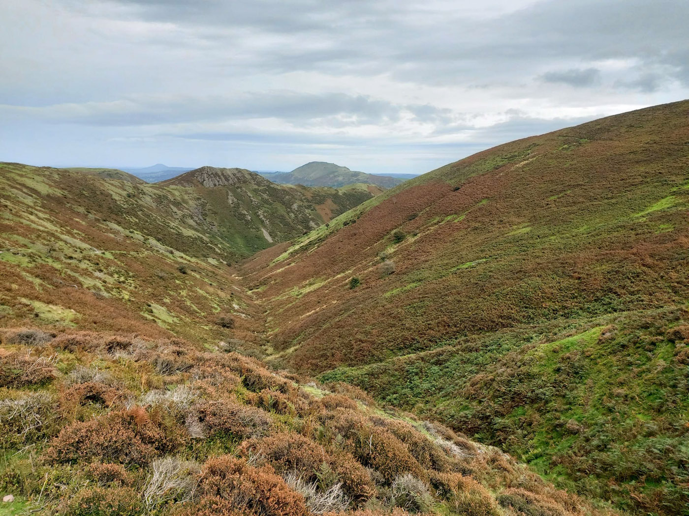
And the best came last – not just of the day but of the whole holiday: Town Brook Valley. It left us breathless. Such a dull, matter-of-fact name for such a stupendous sight. After soaking in the magnificent view for some time, we began the long, steady descent down the sloping valley walls and back to Longmynd House.
Author and Photographer: Sandy Arpino