Coast to Coast continues with 4 Fearless Petersfield Ramblers
Day 7: September 2021
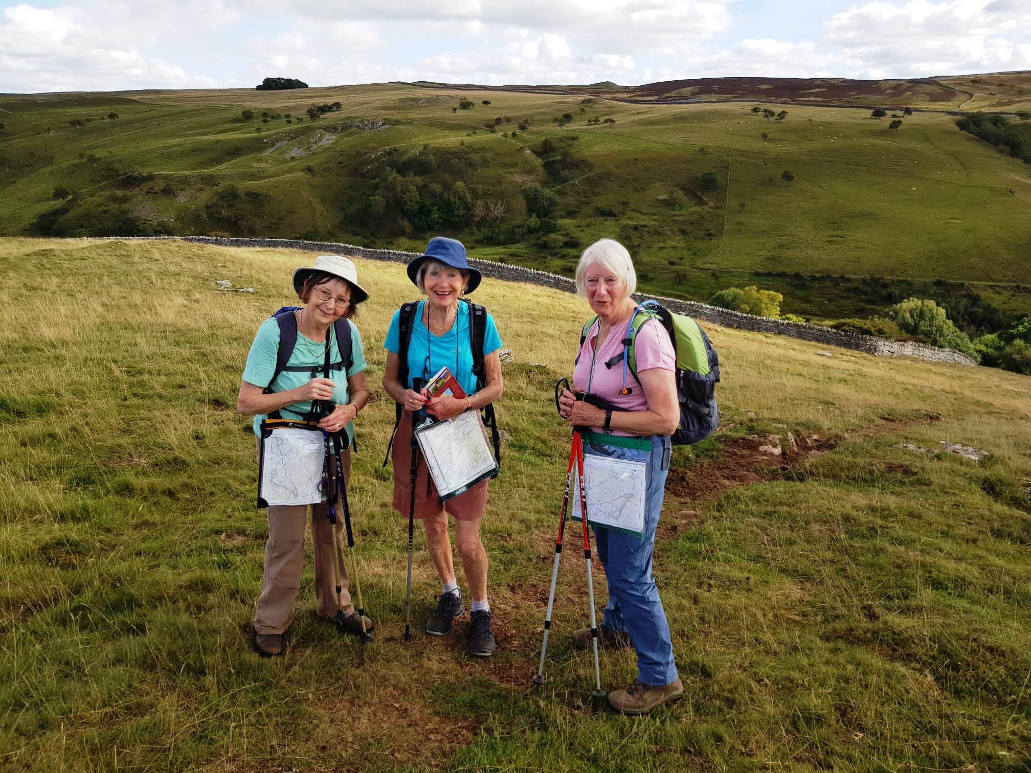
After three months’ rest, we are on the trail again. Four intrepid walkers from Petersfield, resuming their Coast to Coast walk where they left off in June.
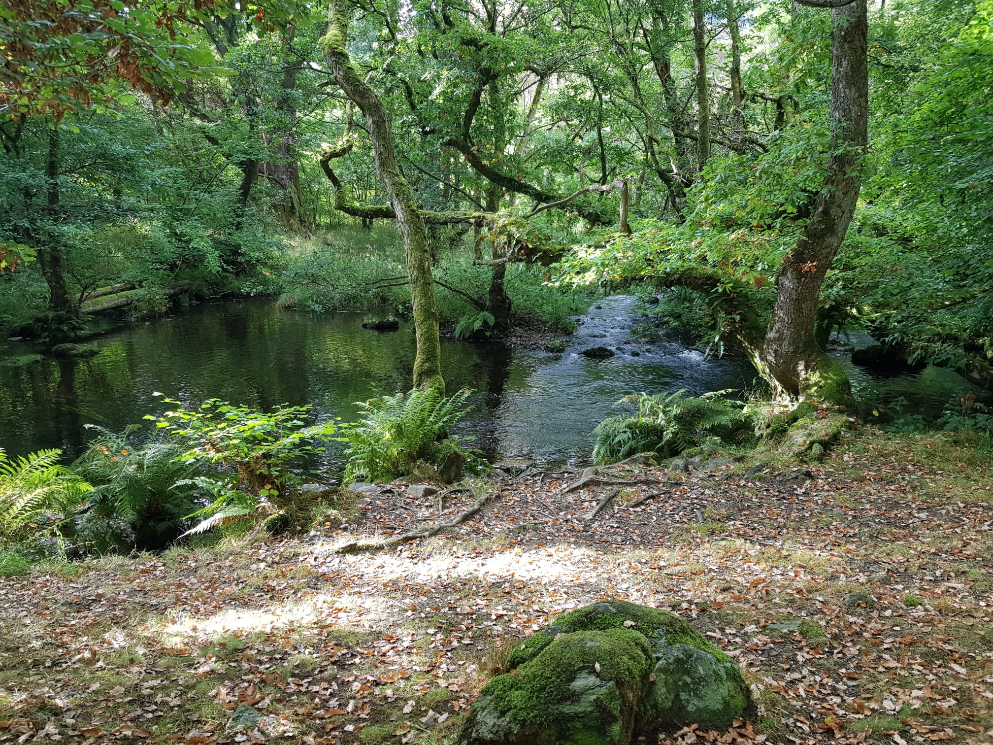
A bright morning greeted us as we were chauffeured to the end of Hayeswater Reservoir to pick up the trail towards Shap. Delightful ancient woodland guided us away from the Lake district and up towards the moors. Rusty muscles sprang into life as we walked along an undulating path aiming for Shap Abbey. The paths were not marked for Coast-to-Coast walkers so maps were consulted, discussions held so that we could make sure we were going the right way.
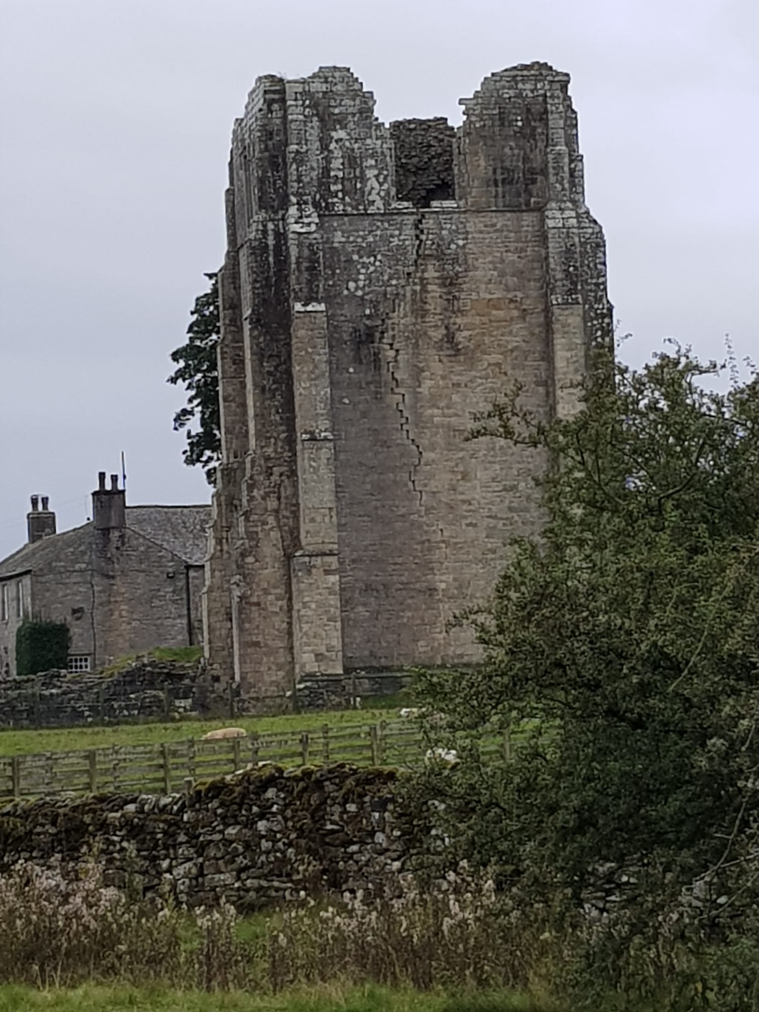
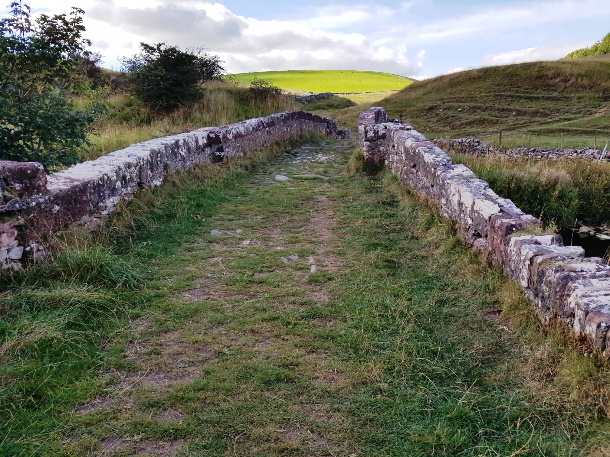
Shap Abbey loomed into sight and gave us a time to sit, enjoy the view and have a snack. The Abbey was established in the 12th century but was closed in 1540 during the reign of Henry VIII. The ruins are showing their age with a huge crack down one of the walls.
Suitable refreshed we continued on into Shap which was bypassed in 1970 by the advent of the M6. As we approached the motorway the noise was intrusive and it was not pleasant to walk across the footbridge to reach the other side. We sped away from the incessant noise as fast as we could, the peace resuming when we came across a large quarry. This is now filled with water with a large notice forbidding swimming. To be honest non of us were tempted to swim in such a barren place, if any of us were interested in getting wet we soon had our wish as it started to rain heavily. Wet weather gear safely donned we soon found a dryish spot under some trees where we had lunch. The rain passed over as we headed across the moors with no habitation in sight. Robin Hood’s grave is marked on the map, but the likelihood of it really being his resting place is in grave doubt.
Our greatest difficulty as we crossed the moor was navigation. Several large clumps of trees, clearly marked on the map made finding our route look easy. Except for one major problem. The trees had been cut down. Thankfully there was still evidence of where they had been so eventually coming across the road we had been walking towards and headed down to Orton. A delightfully green valley led us downhill and the day was made complete as we neared the end of our walk by the sighting of a red squirrel crossing our path. Unfortunately, it was too fast for any of us to photograph.
Thirteen miles completed; a cup of tea awaited us in our B&Bs along with hot showers. Tomorrow is the next section.
Day 8
After a good night’s rest and a hearty breakfast all were ready for the challenges of the day. Map reading is becoming easier as we recognise how the moor areas are demarcated from the arable land, where the incredibly long and well made stone walls are indicated and which signs to look for as we cross large areas of moorland.
After a walk along a minor road we headed off across fields, always full of sheep, towards Sunbiggin Farm. Here there was a choice of ways depending upon weather conditions. As the sun was high in the sky we opted to tramp across the moors rather than take the road route. The moors are difficult to navigate in bad weather but the sky was clear and we found many signposts to aid us on our way.
A drink stop replenished our energy as we walked along part of the Dales High Way. Along the pathway we met a youngish, ex-army, man walking East to West on the path and aiming to accomplish it is as few days as possible. He informed us that he had walked over 30 miles for two days, and over 20 for another two days. All his kit, including tent, was on his back, he was raising money to help the many young people who were homeless. We were a little concerned as he seemed to be very tired and finding his way difficult. The mothering instinct in us wanted to tell him to pitch camp and have a rest but he – and we – continued on our respective ways.

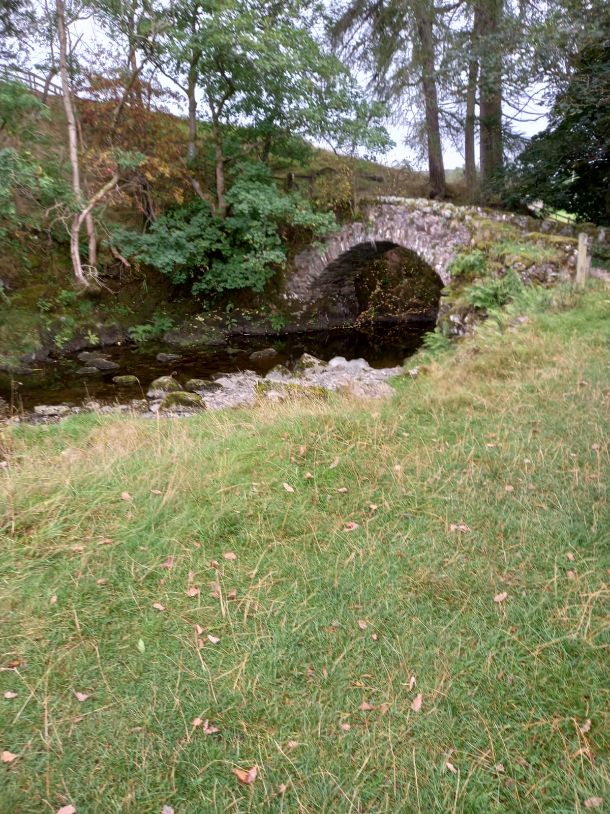
Then followed seeming miles of stone walls to walk alongside, giving spectacular views of the surrounding countryside. The path dropped down steeply into a valley crossing a dismantled railway line and crossing a beck. Time for lunch. Refreshed we set off across the fells to pass Pillow Mounds, large formations known locally as Giants’ Graves, no one knows the real use or origin of them.
Once across Smardale Fell the last leg of the walk started- a gentle walk down towards Kirkby Stephen. It is always slightly uncomfortable walking across a large field full of cows and horses but none took any notice of us. Walking under the Settle to Carlisle railway the path continued across a series of fields. The peace and quiet was disturbed by 2 fighter jets practising flying up and down the valley several times before they flew off to disturb some other settlement. Eventually we were down in the town, off to our trust B&Bs, ready to put our feet up. Another 13 miles accomplished.
Author: Lynne Burge