- 17th April 2024
- Walk Leaders: Sandy Arpino and Rose Field
- Distance: 7 miles
Petersfield Ramblers enjoy a day out in Arundel
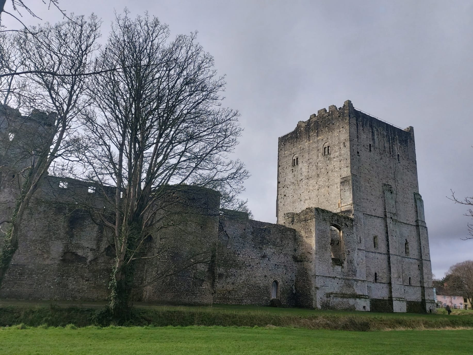
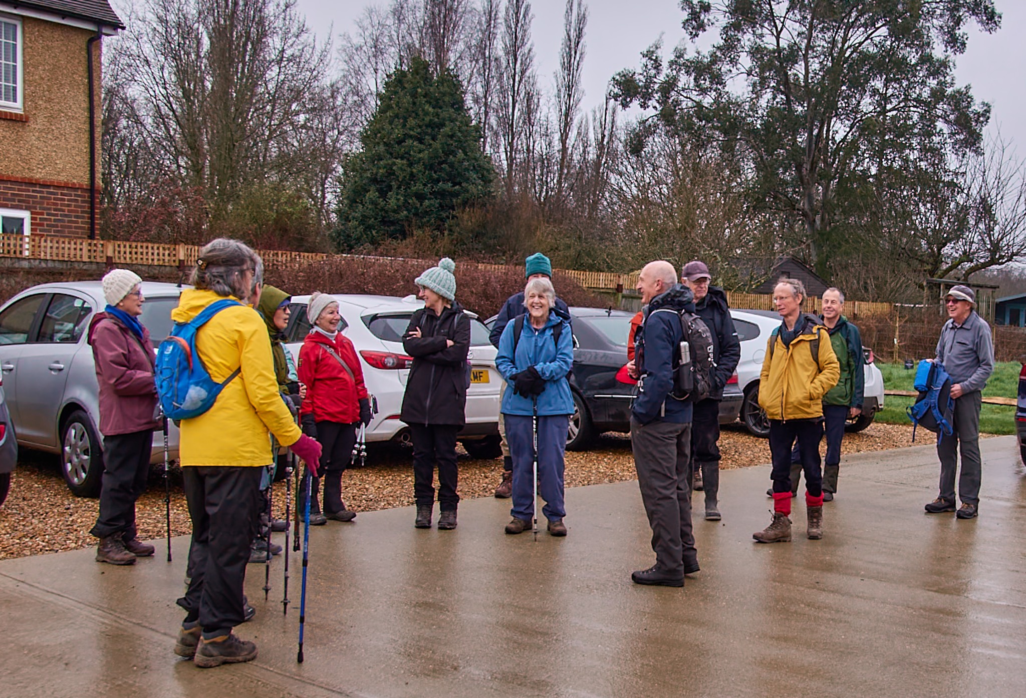
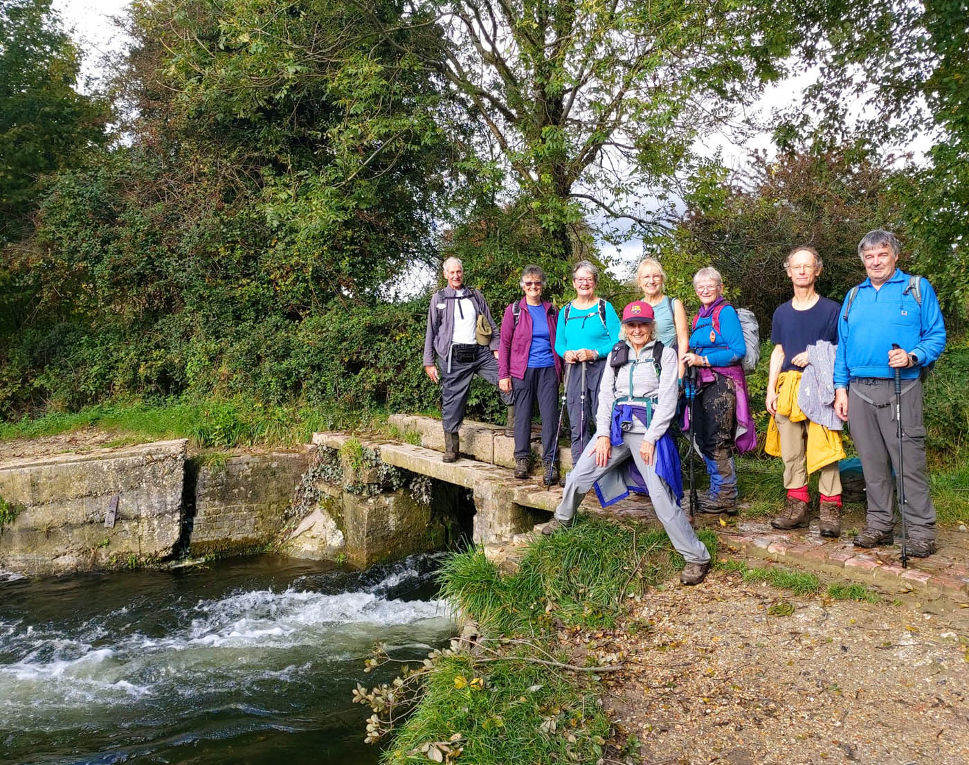
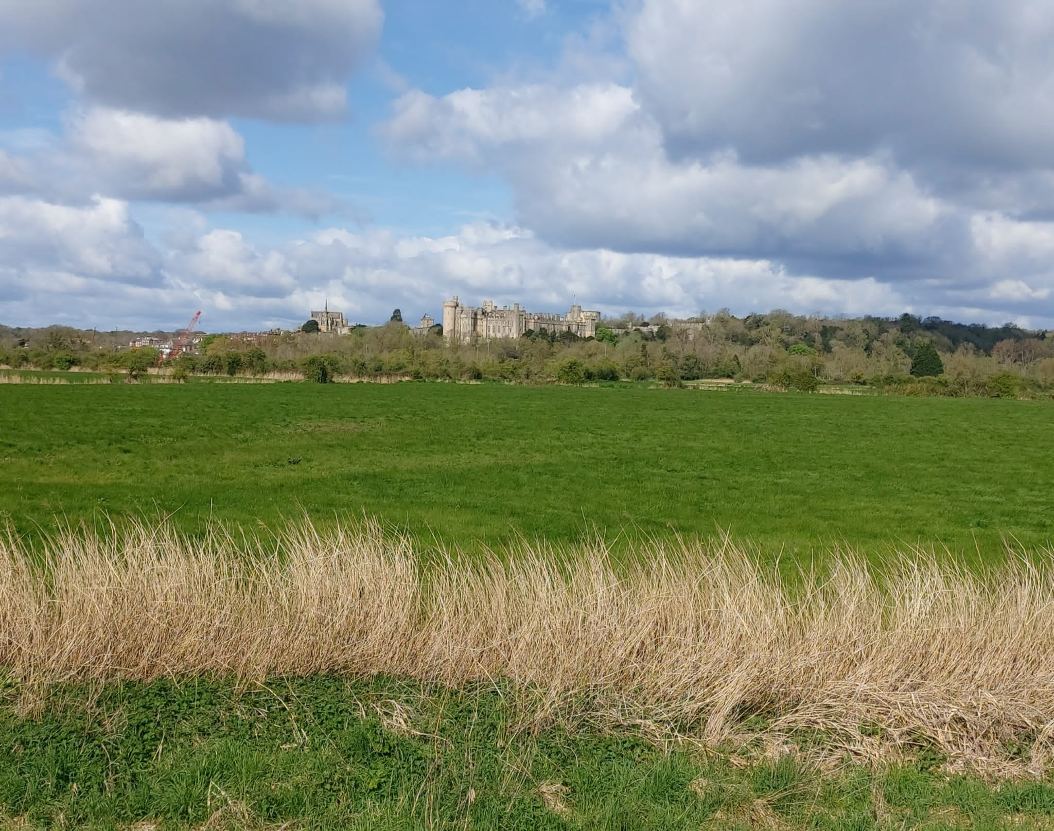
On an encouragingly sunny morning in mid-April, a large group of walkers from Petersfield Ramblers set off for a day trip to Arundel and its famous Tulip Festival. We drove in packed cars, assembling in Mill Road car park by the castle gates for a 7-mile morning walk.
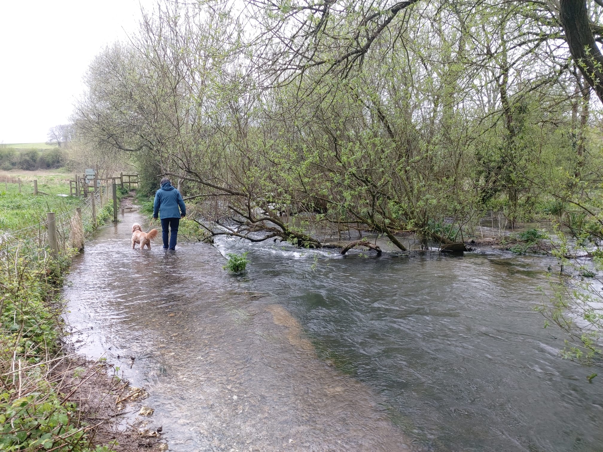
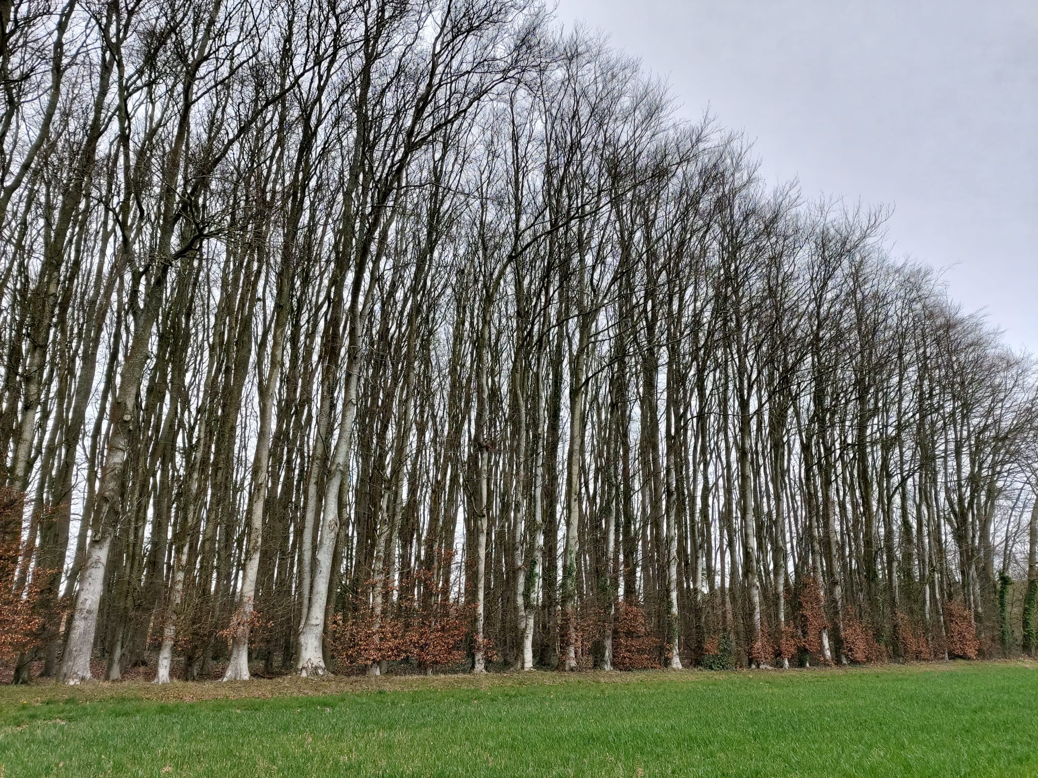
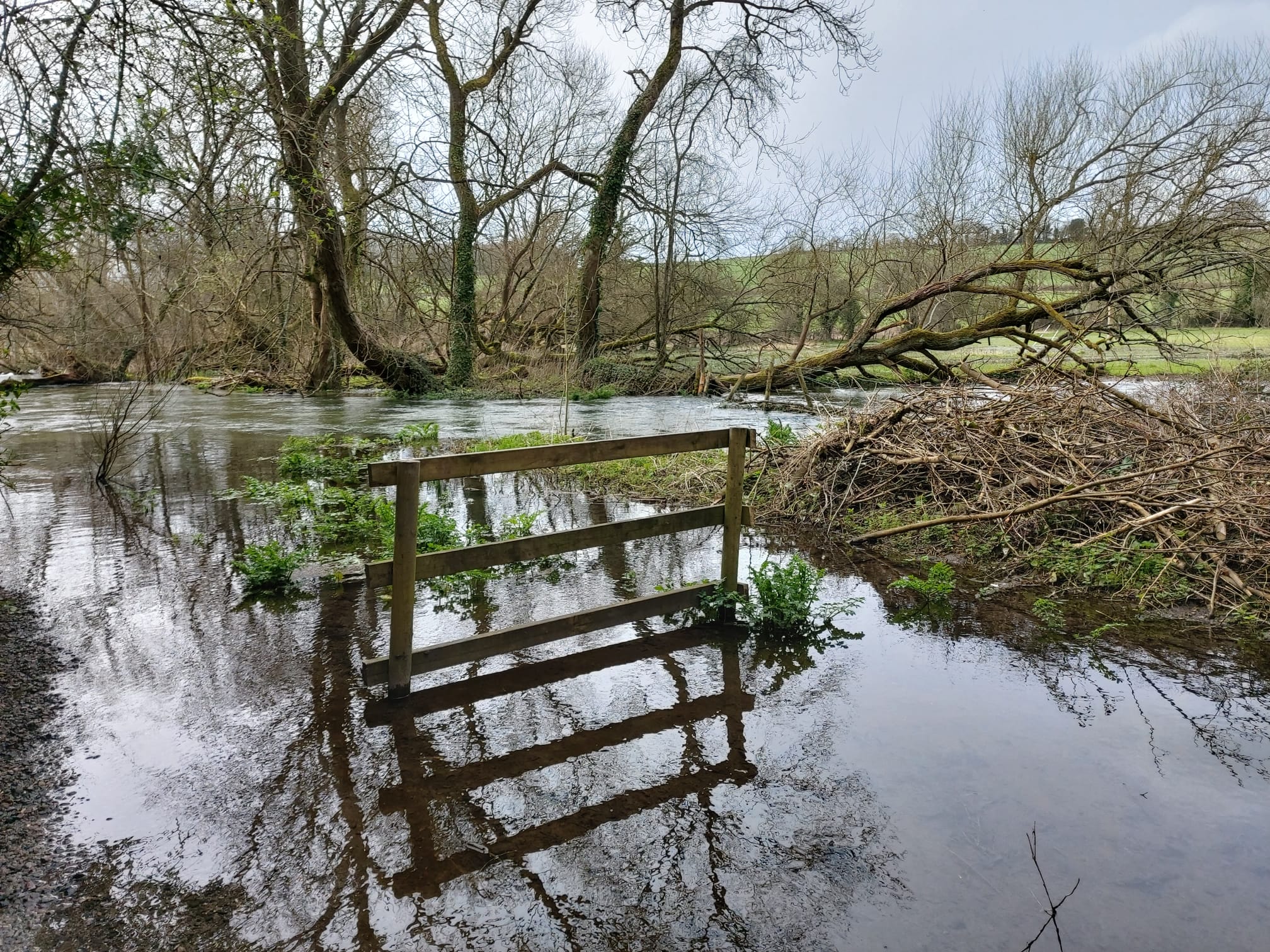
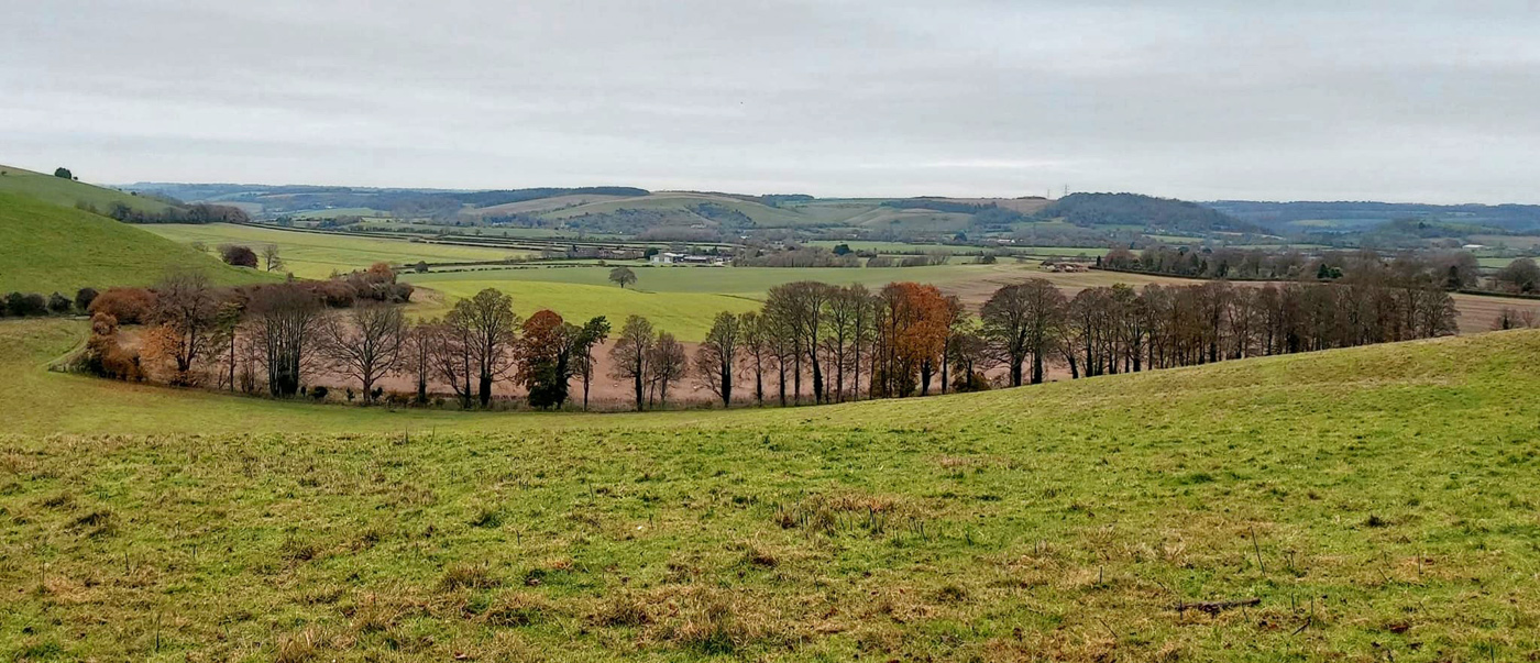
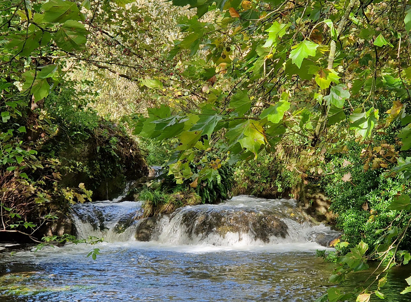
We followed the meandering River Arun all the way to South Stoke, promenading on top of the raised flood defences. This gave wonderful views – not just of the looping river, lined with reeds – but also across green meadows and wetlands, back to the fairytale castle.

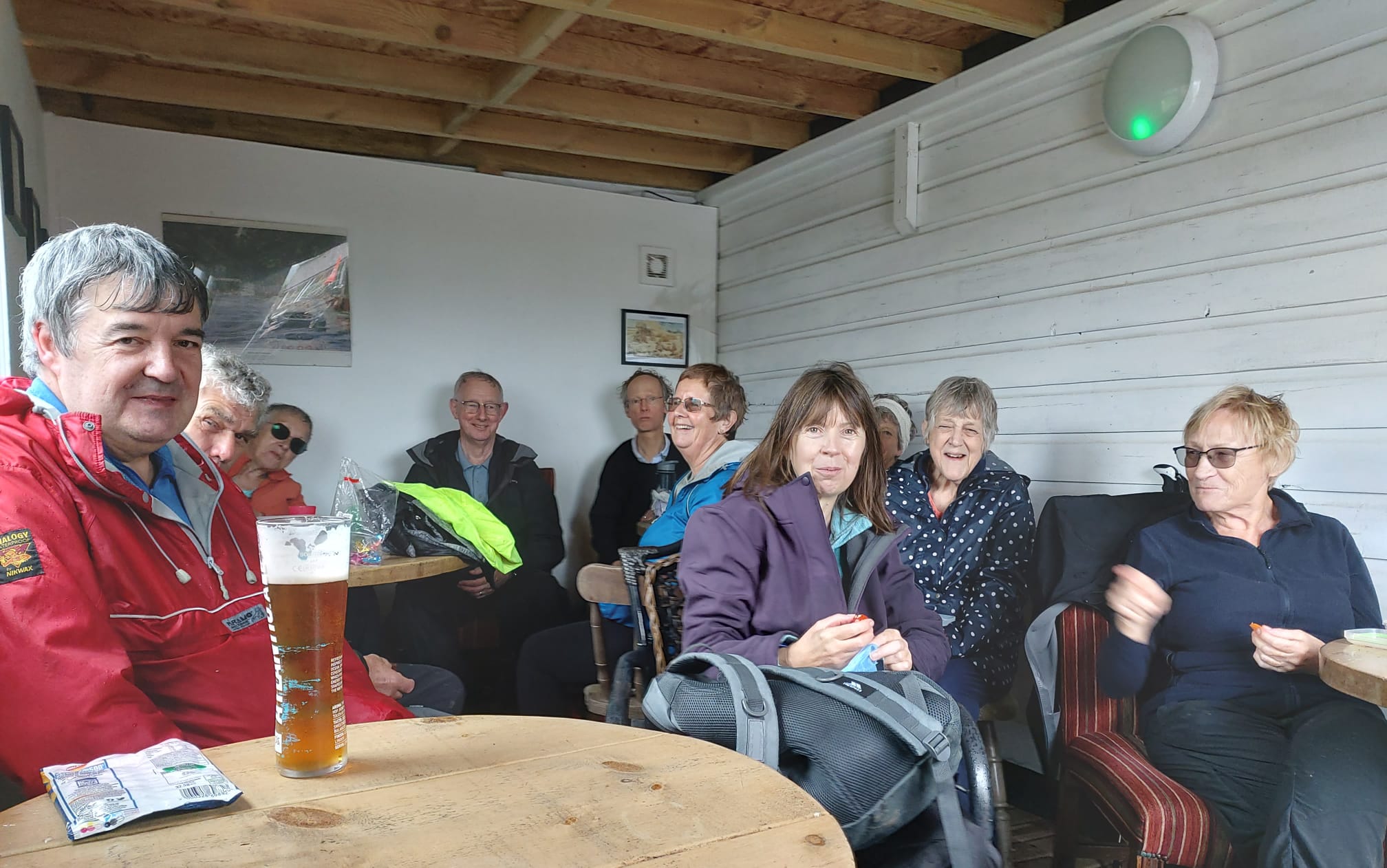
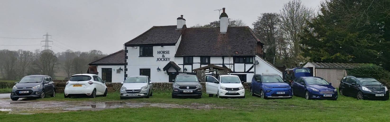
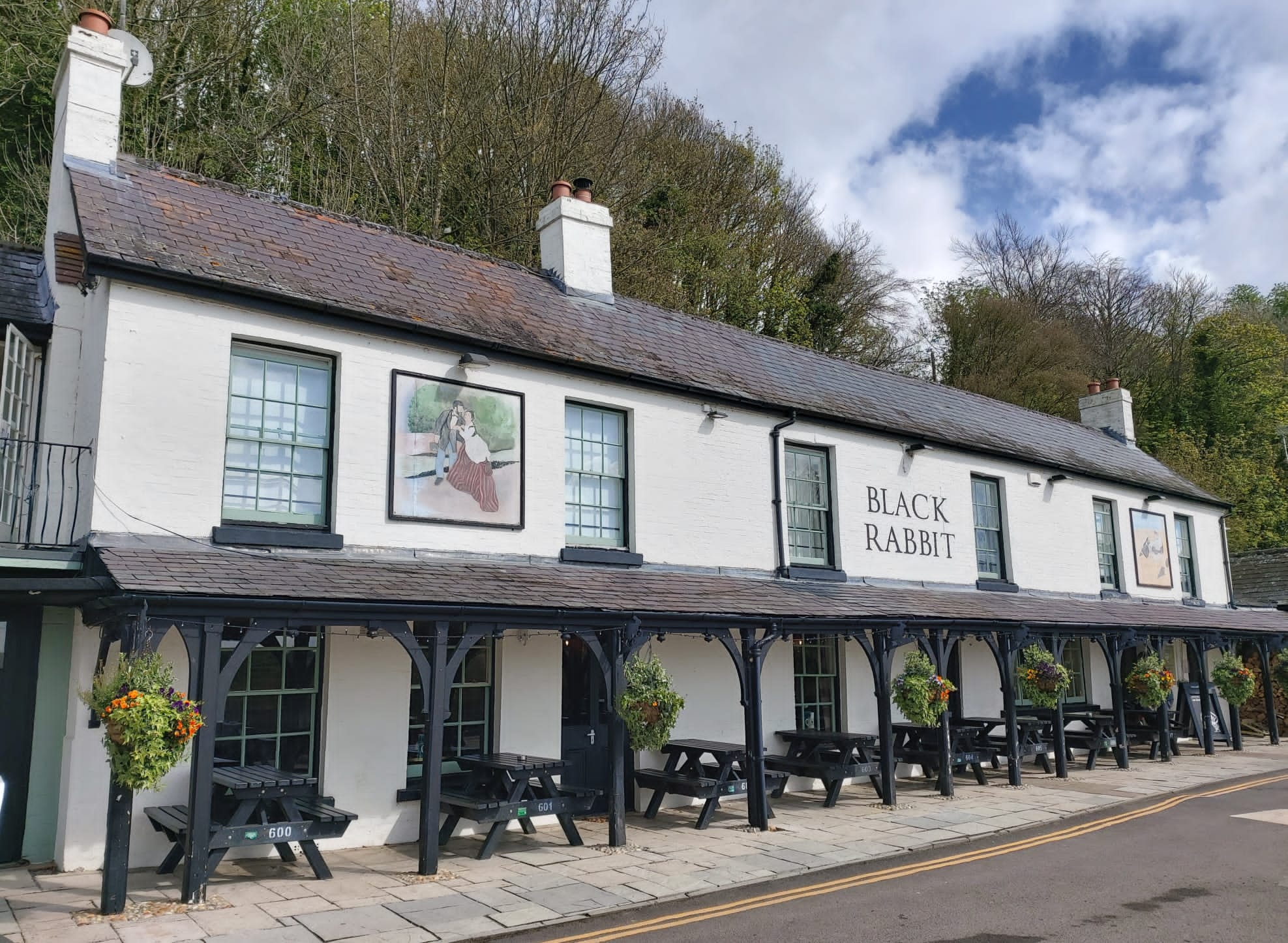
Jackets were removed as walking in the sunshine warmed us up – then quickly replaced as a brief shower rained down on us. Enroute we passed the Black Rabbit restaurant pub – our rendezvous for dinner at the end of the day.
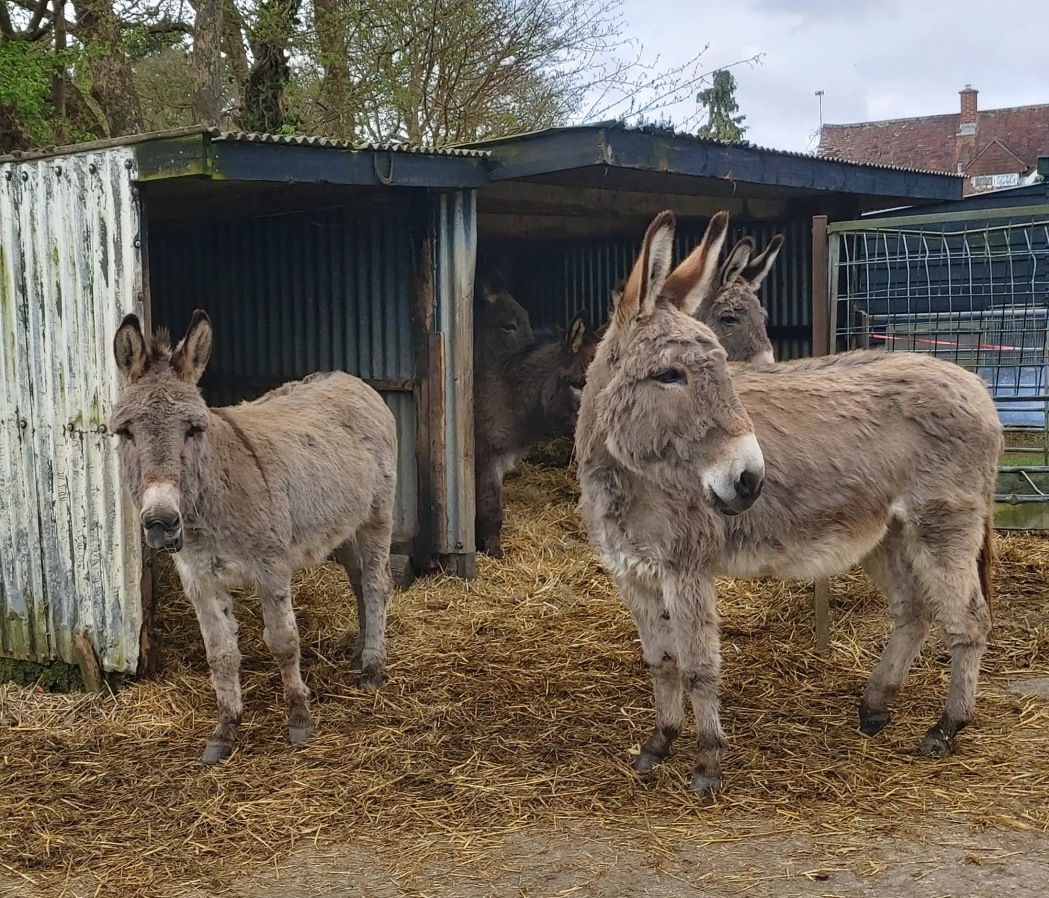
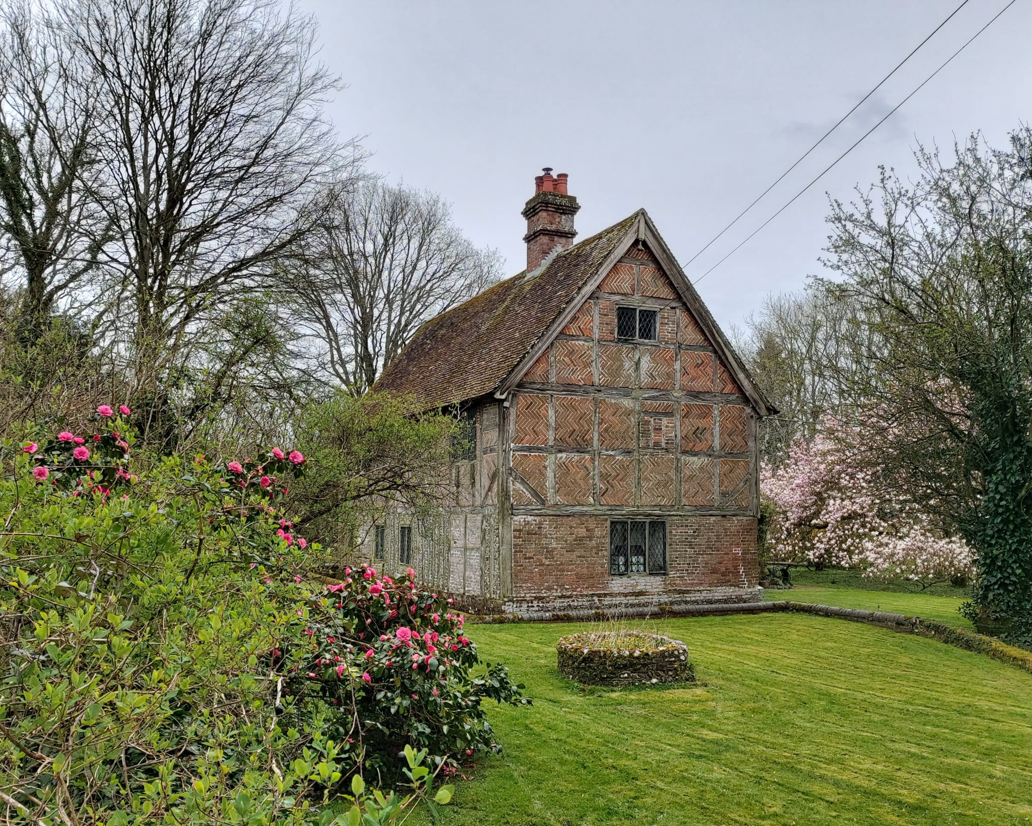
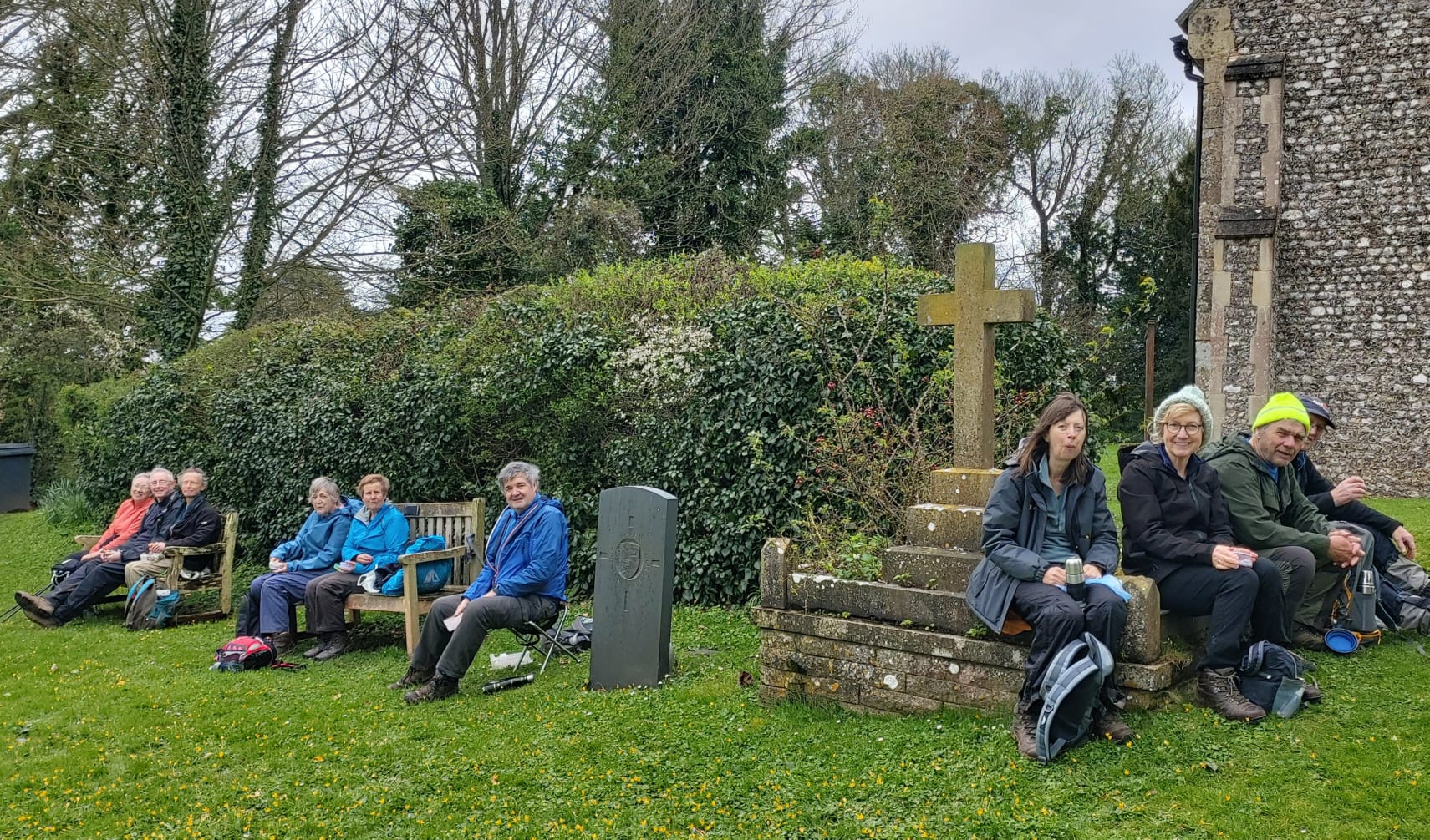
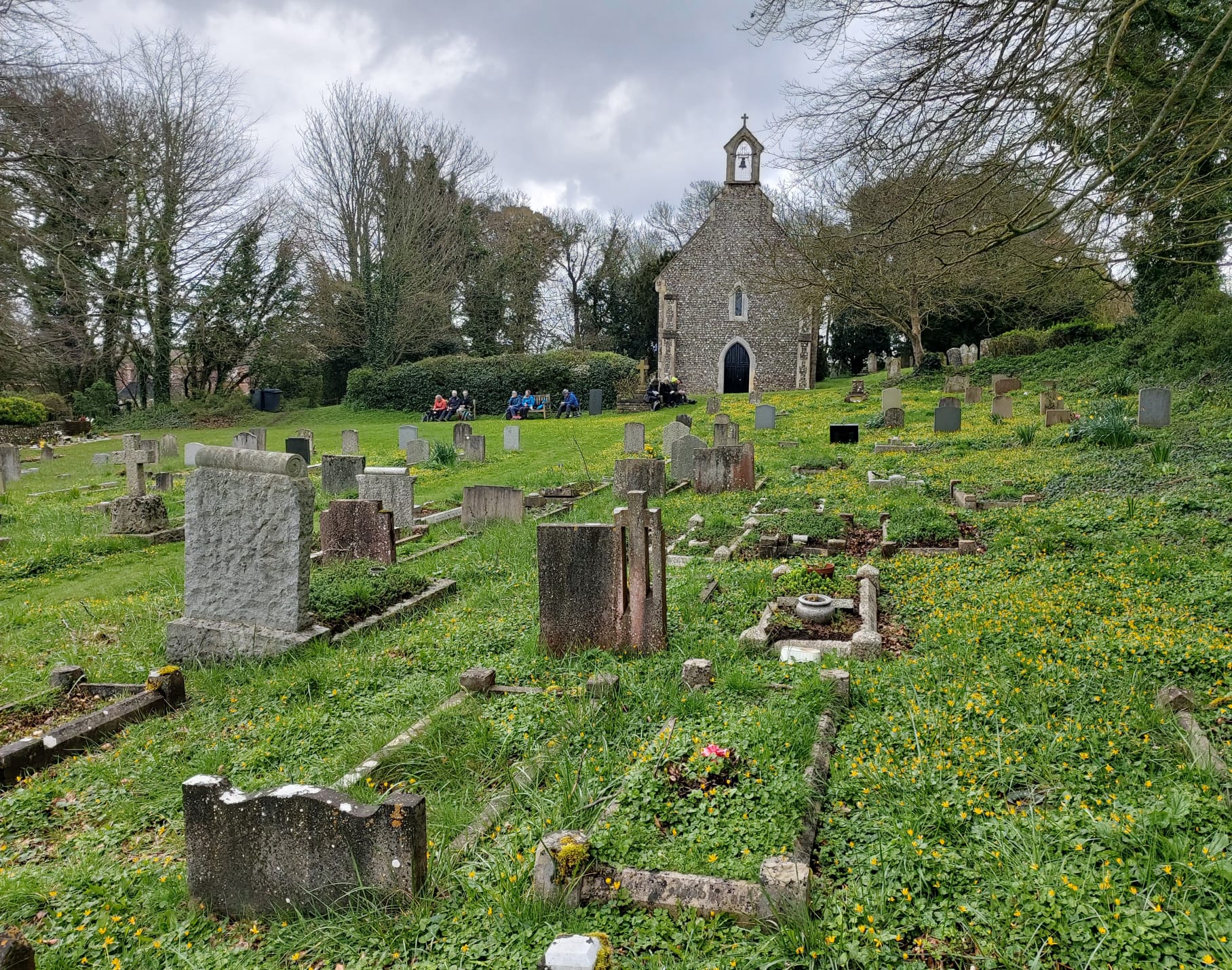
Circling around South Stoke vicarage, we found the hidden entrance to the churchyard – and a few surprises. A couple of sheep with their lambs were relishing the delights of the long grass amongst the tombstones! No doubt they were an easy substitute for mowing – though the frolicking lambs paid little respect for their surroundings!
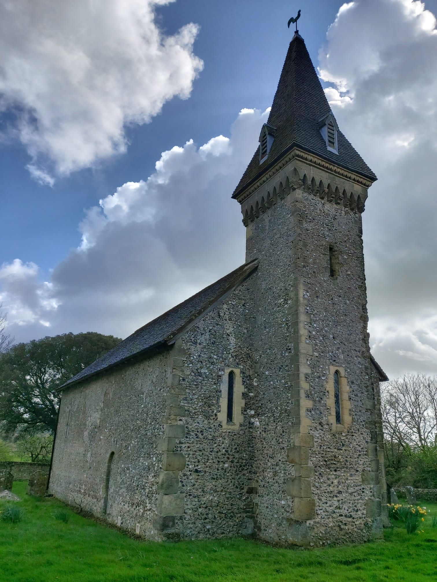
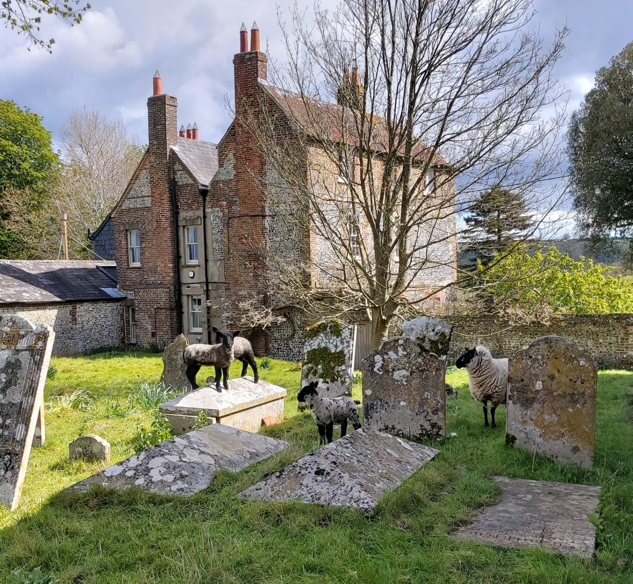
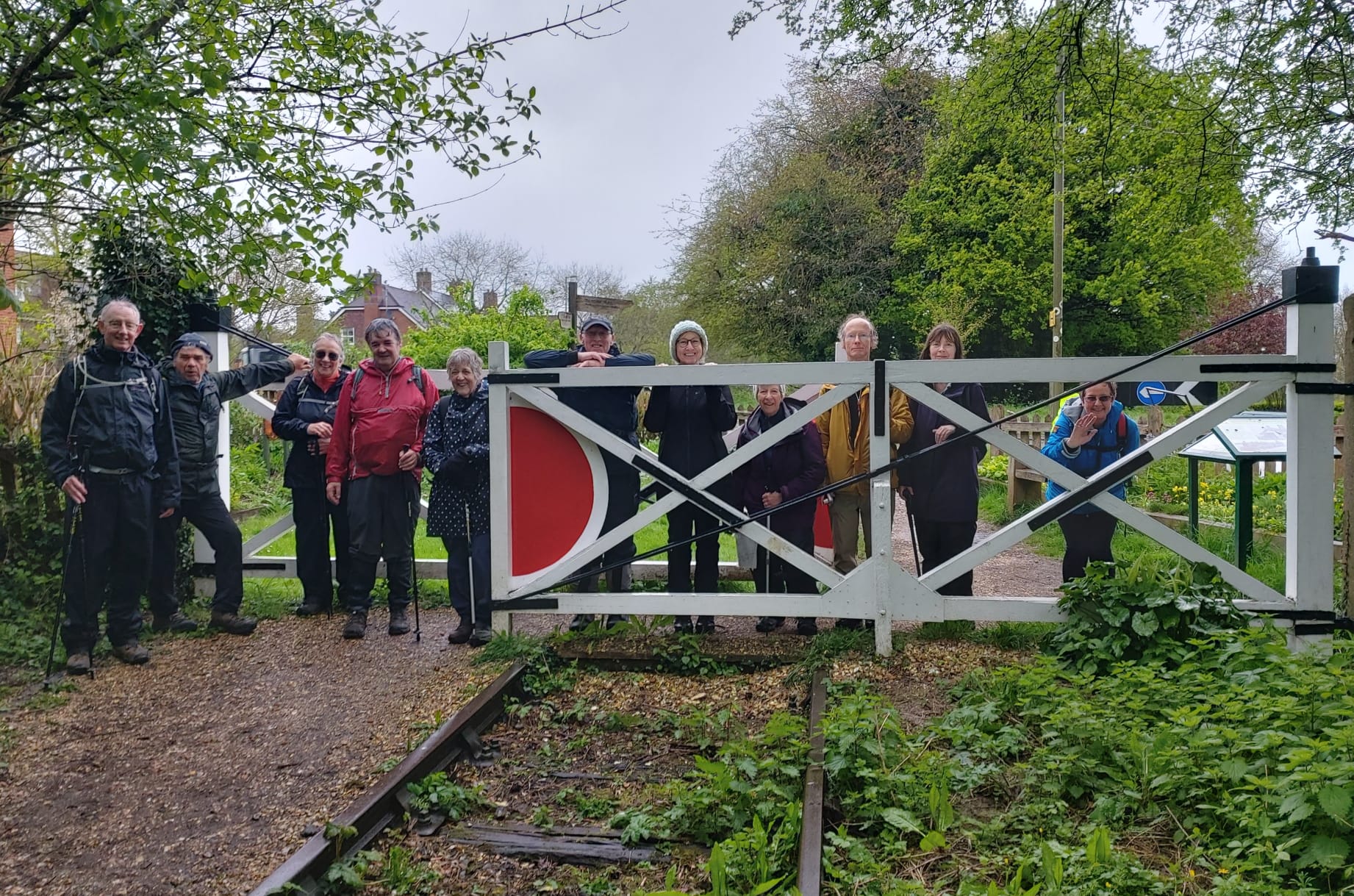
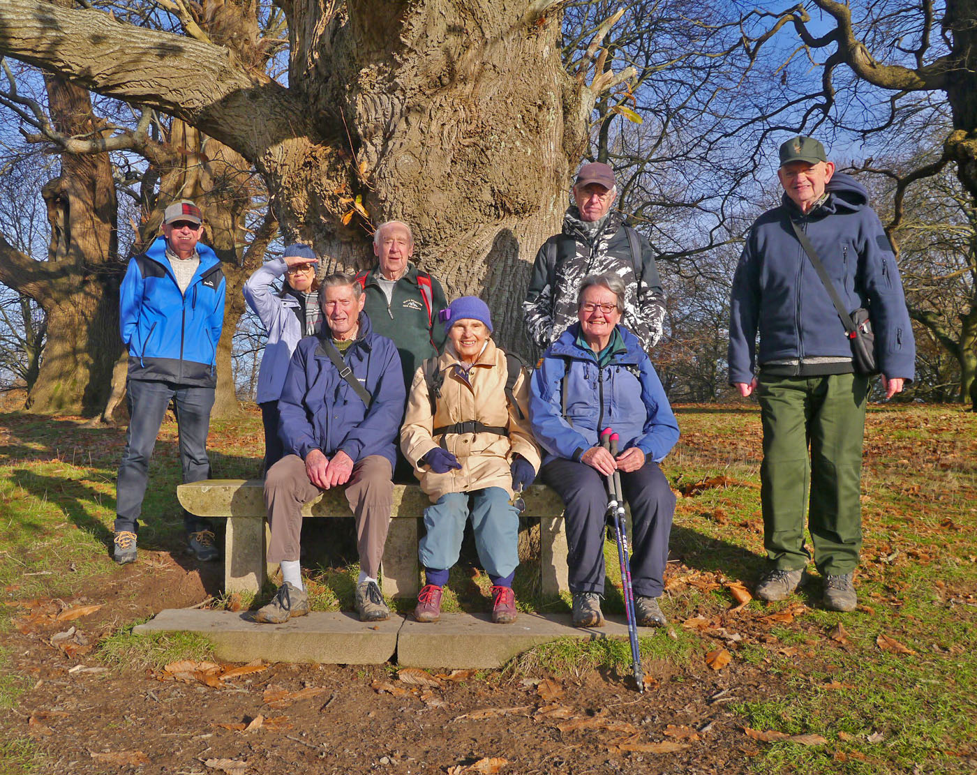
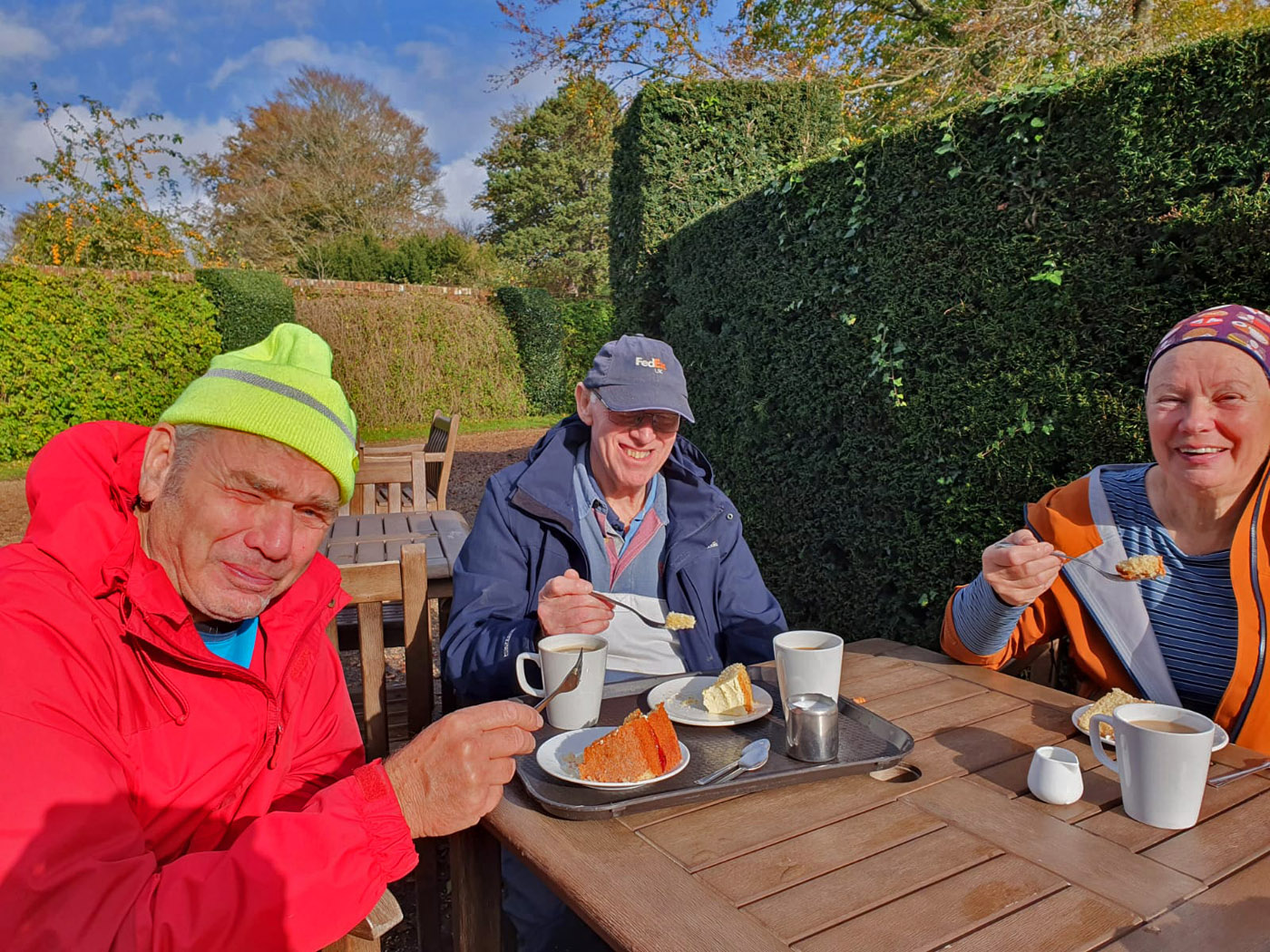
With the sun returned, everyone appreciated a leisurely coffee break in the churchyard, followed by the obligatory photoshoot.

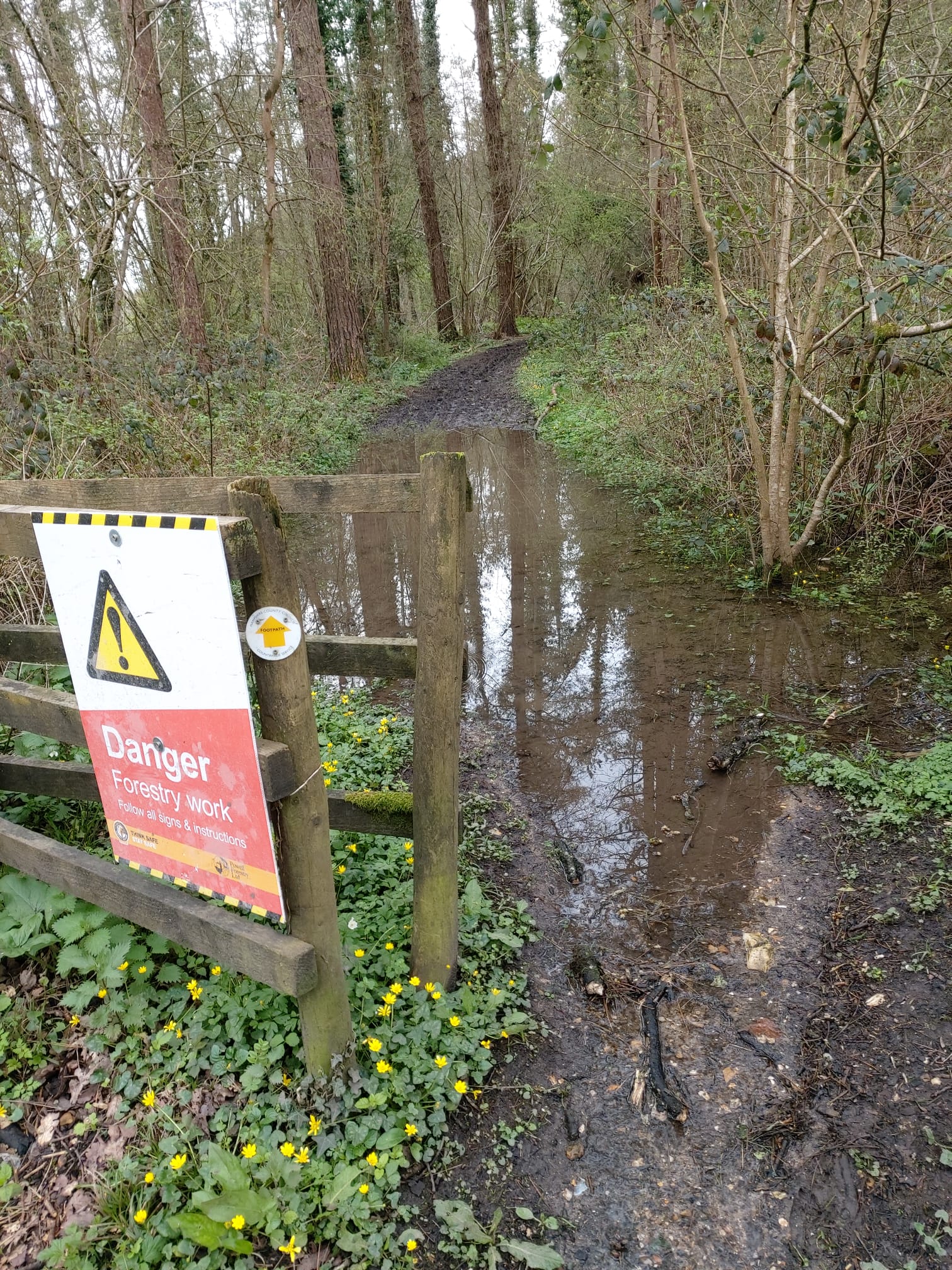
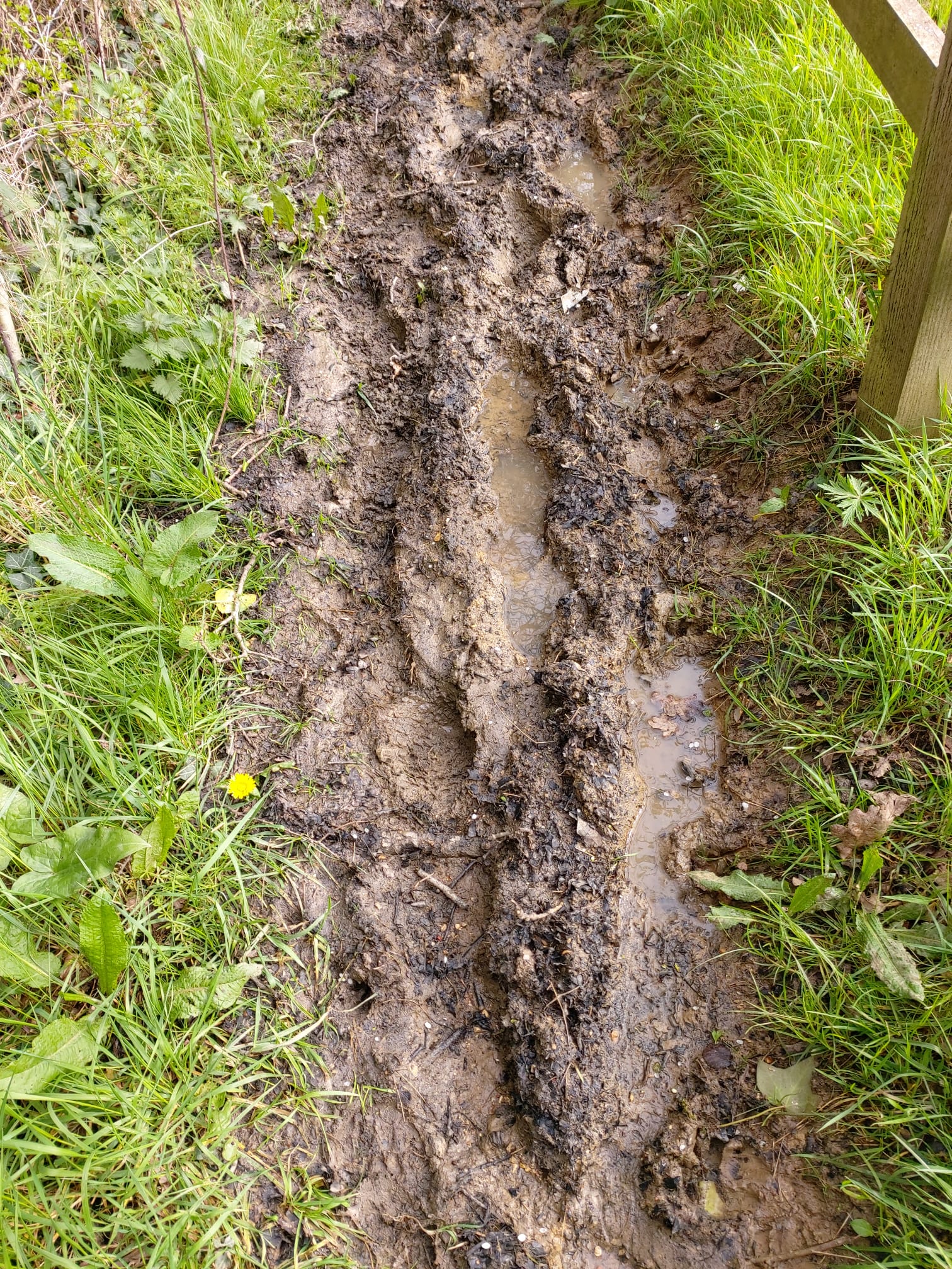
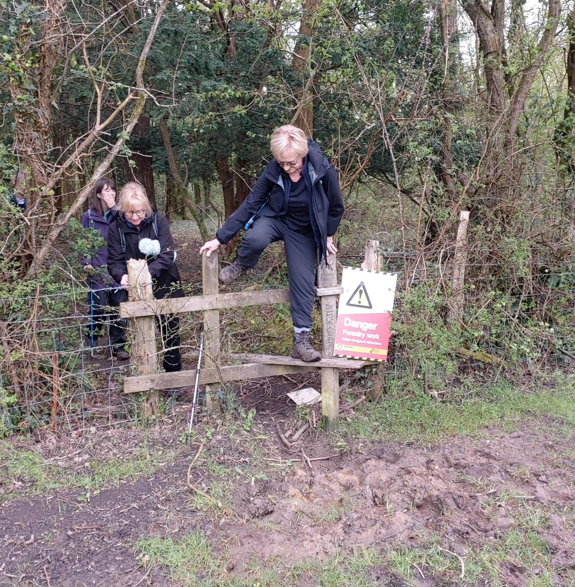
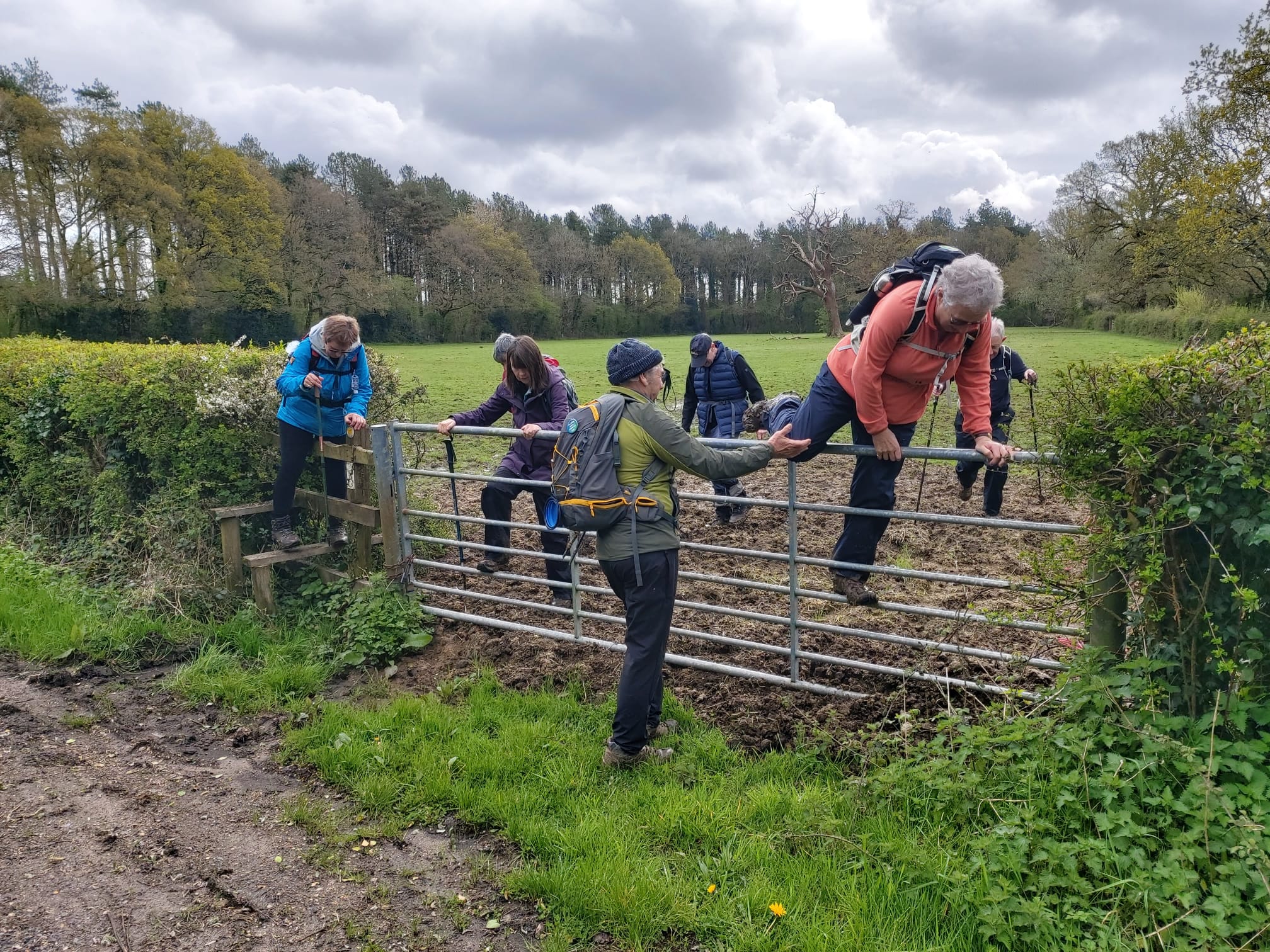
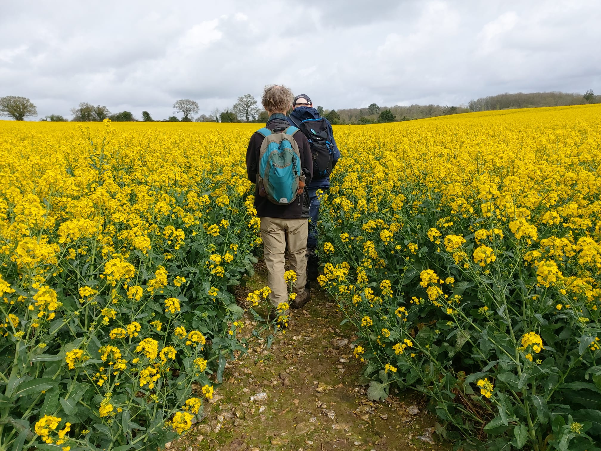
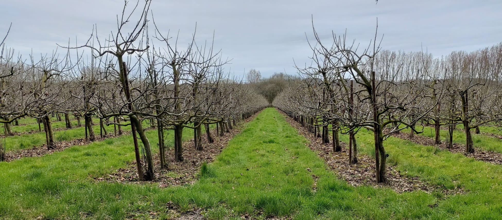
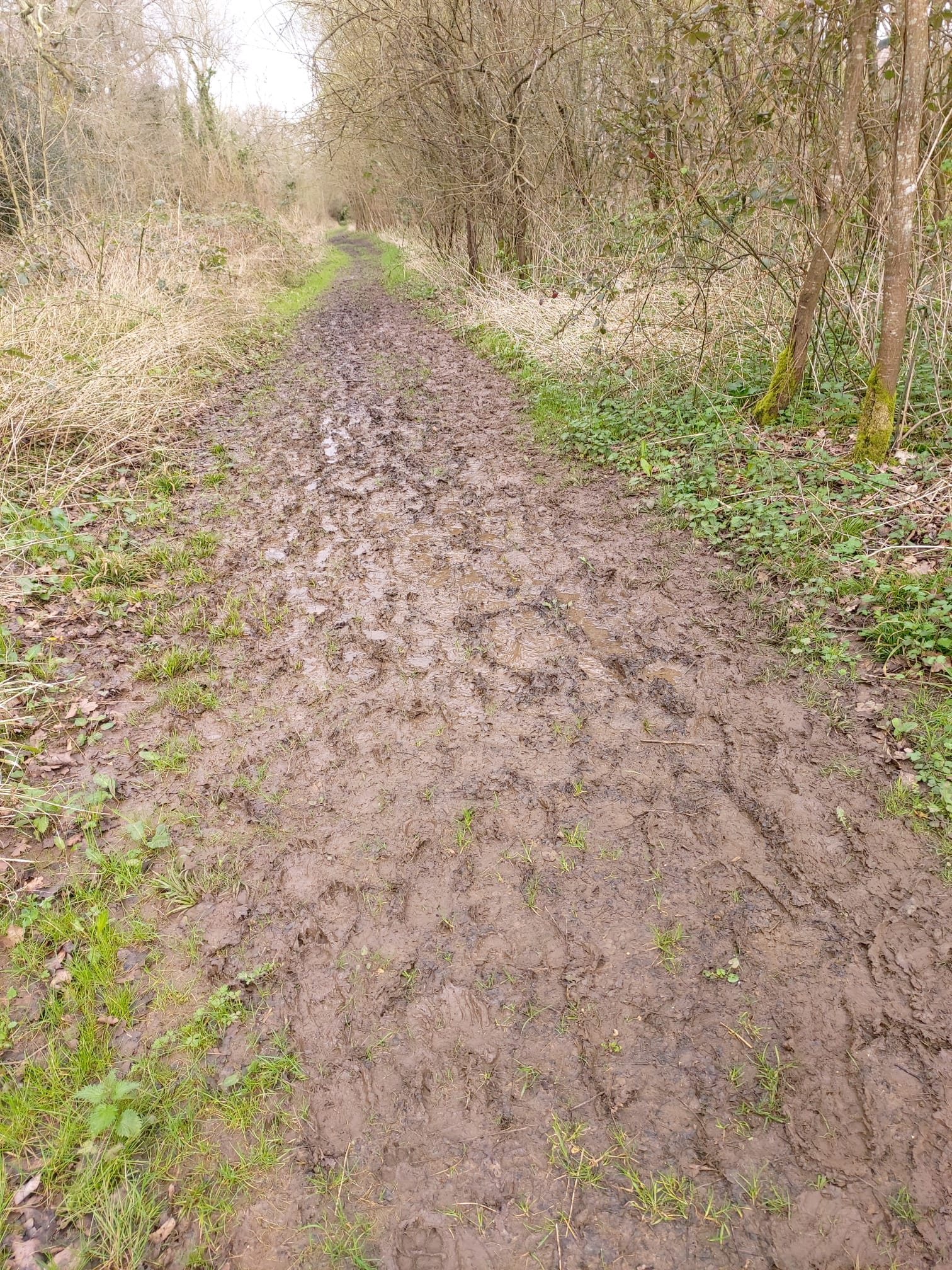
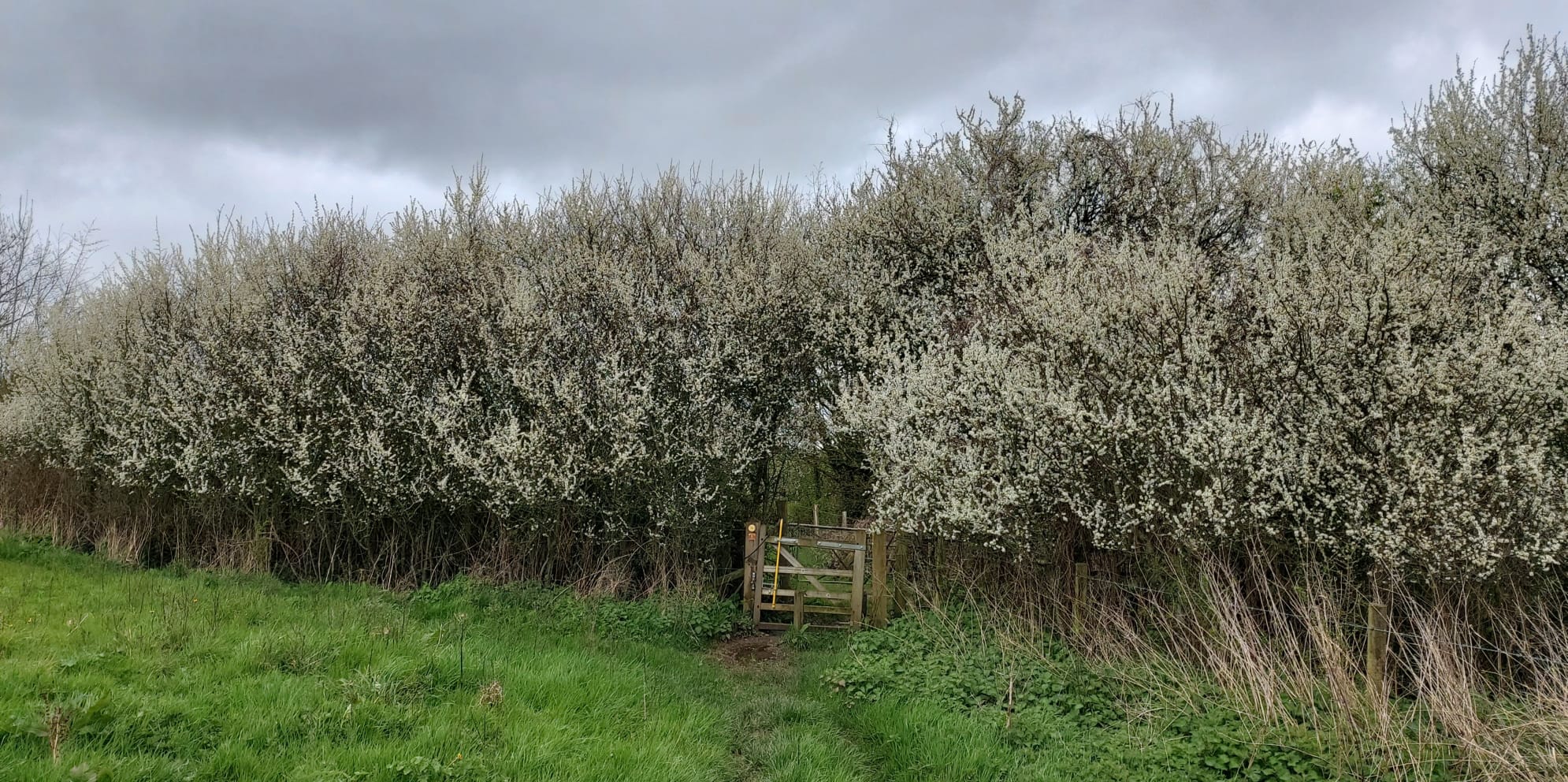
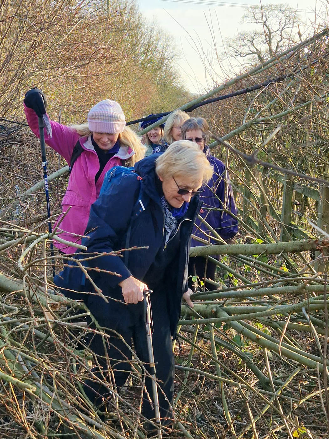
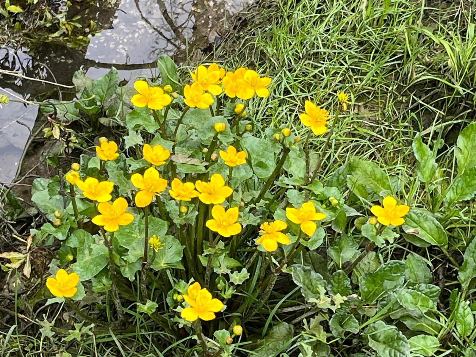
As so much impassable mud had been encountered by the walk leaders when that undertook a recce 2 weeks before, it was decided to take the road south into Arundel town. But this wasn’t a problem as the road is rural with little traffic – and everyone was so busy chatting, they were barely aware of their route! We passed Swanbourne Lake with its preening swans and vast flock of resting seagulls, before crossing the lake outlet via a stone bridge from which marsh marigolds could be spotted on the banks.
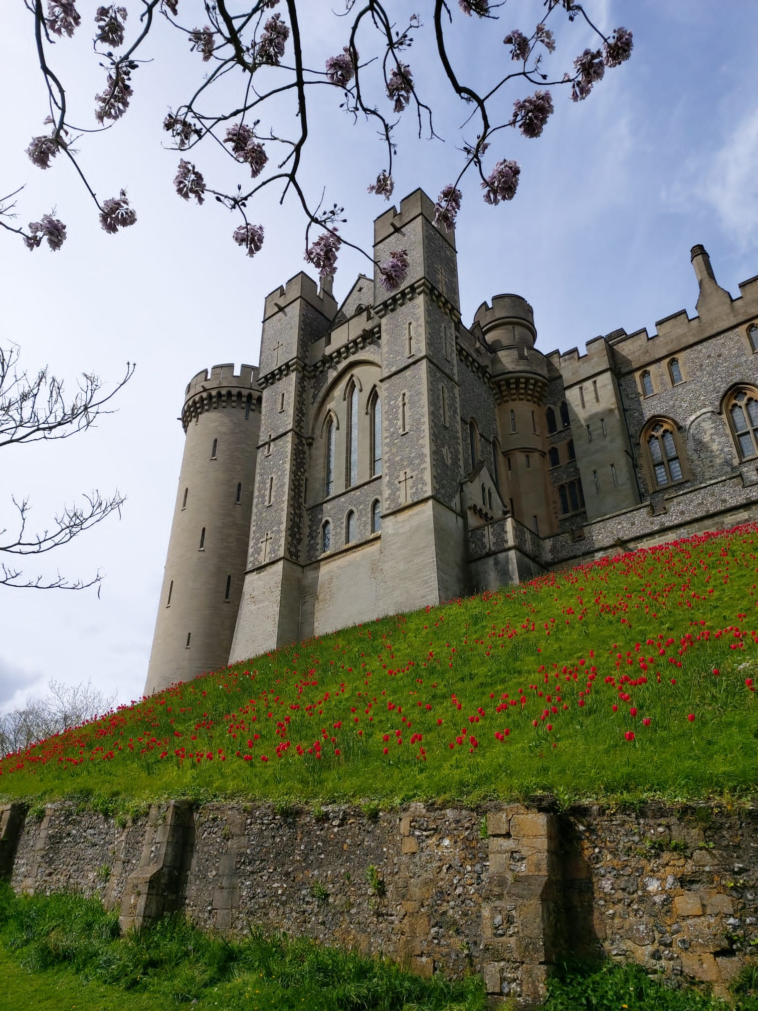
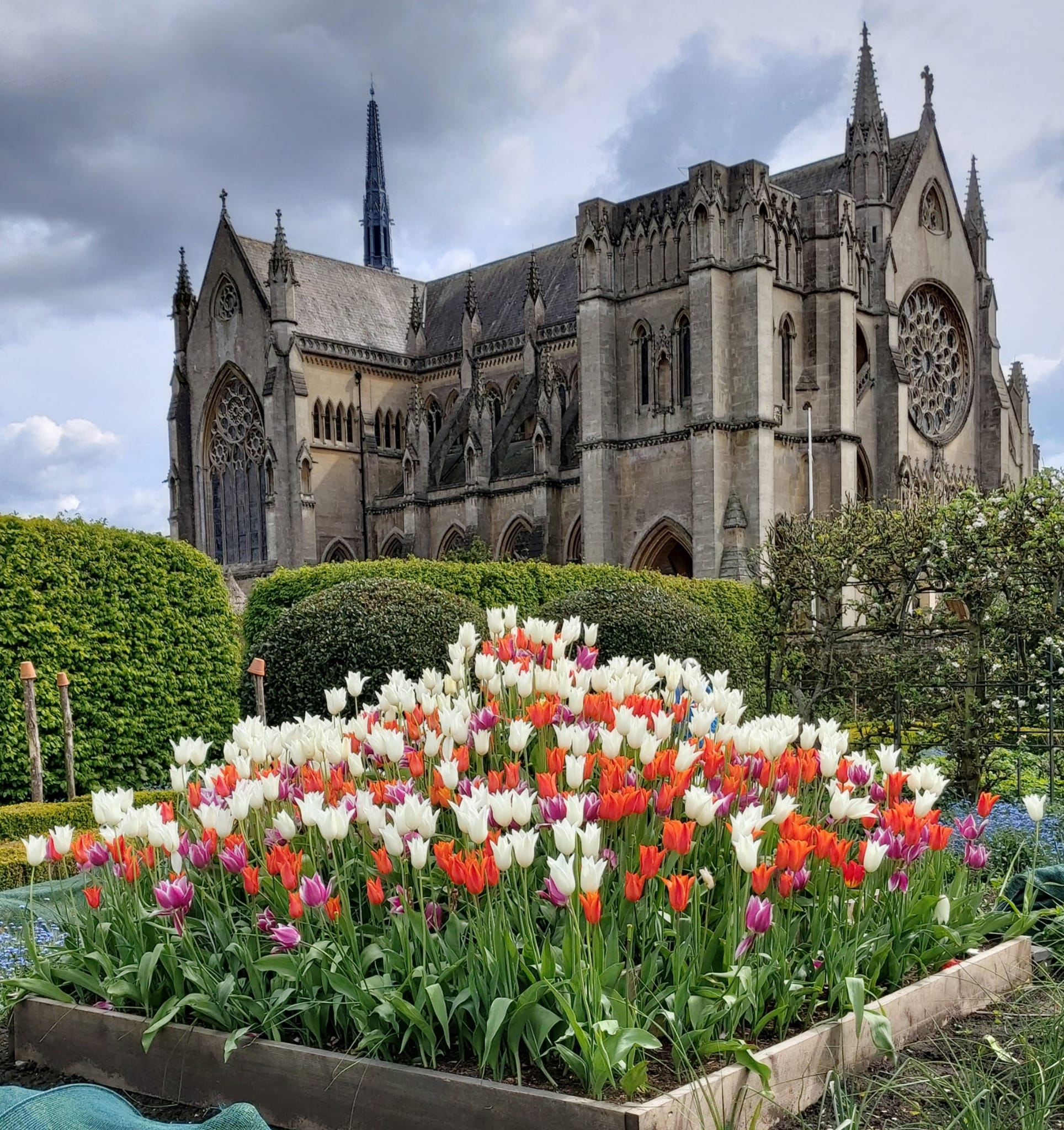
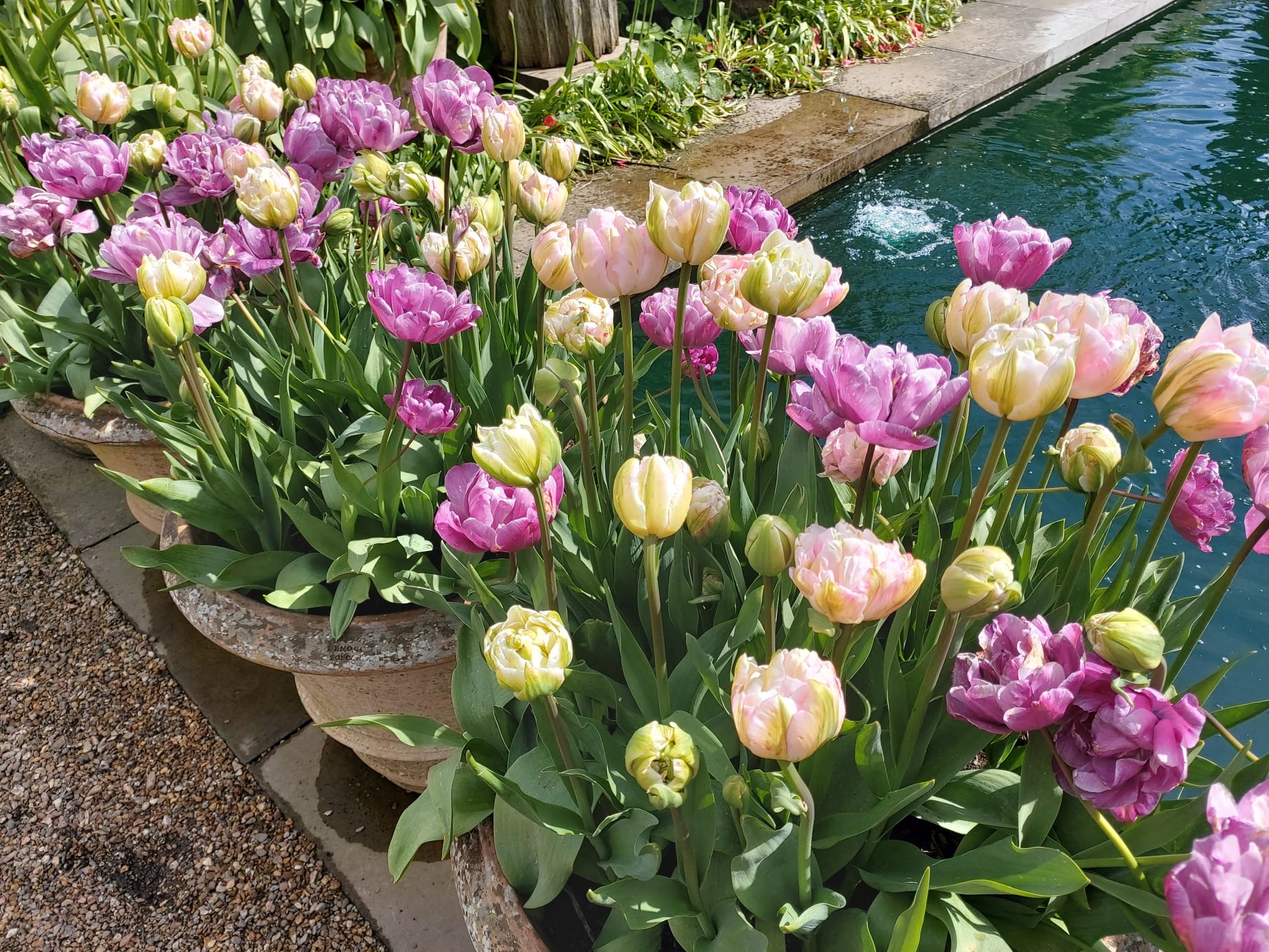
It was 1 0’clock when we returned to our cars, so people were keen for lunch. Walking boots and clothes were discarded, replaced by clean shoes and trousers for ‘more refined’ activities – starting with a search for the best lunch location. Requirements varied: some headed into town to select a café (there are many – all excellent), while others proceeded into the castle gardens to sample coffee and cake there. This latter group first admired the red tulips climbing the banks up to the castle buildings, reminiscent of the poppies at the Tower of London a few years prior.
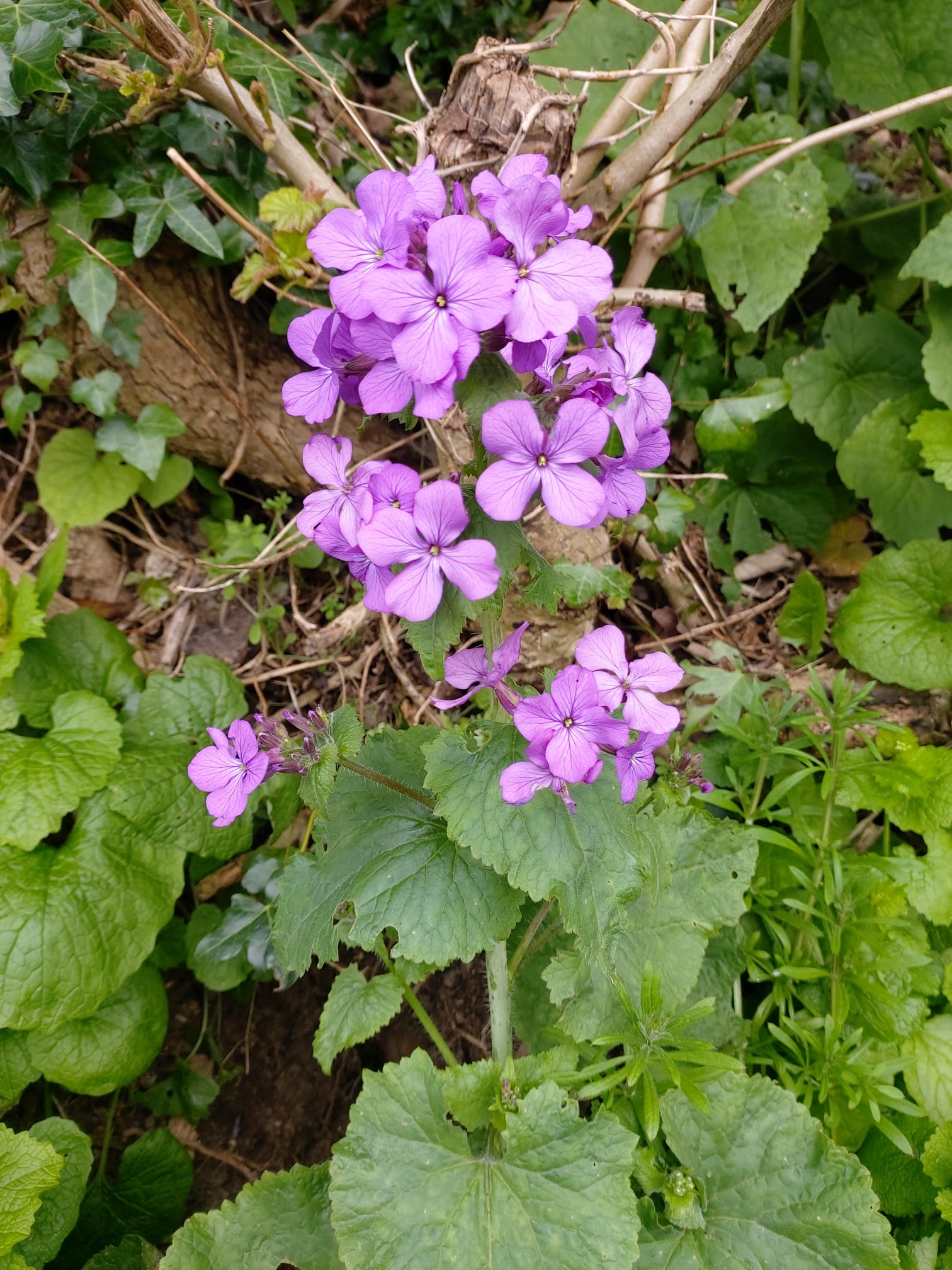
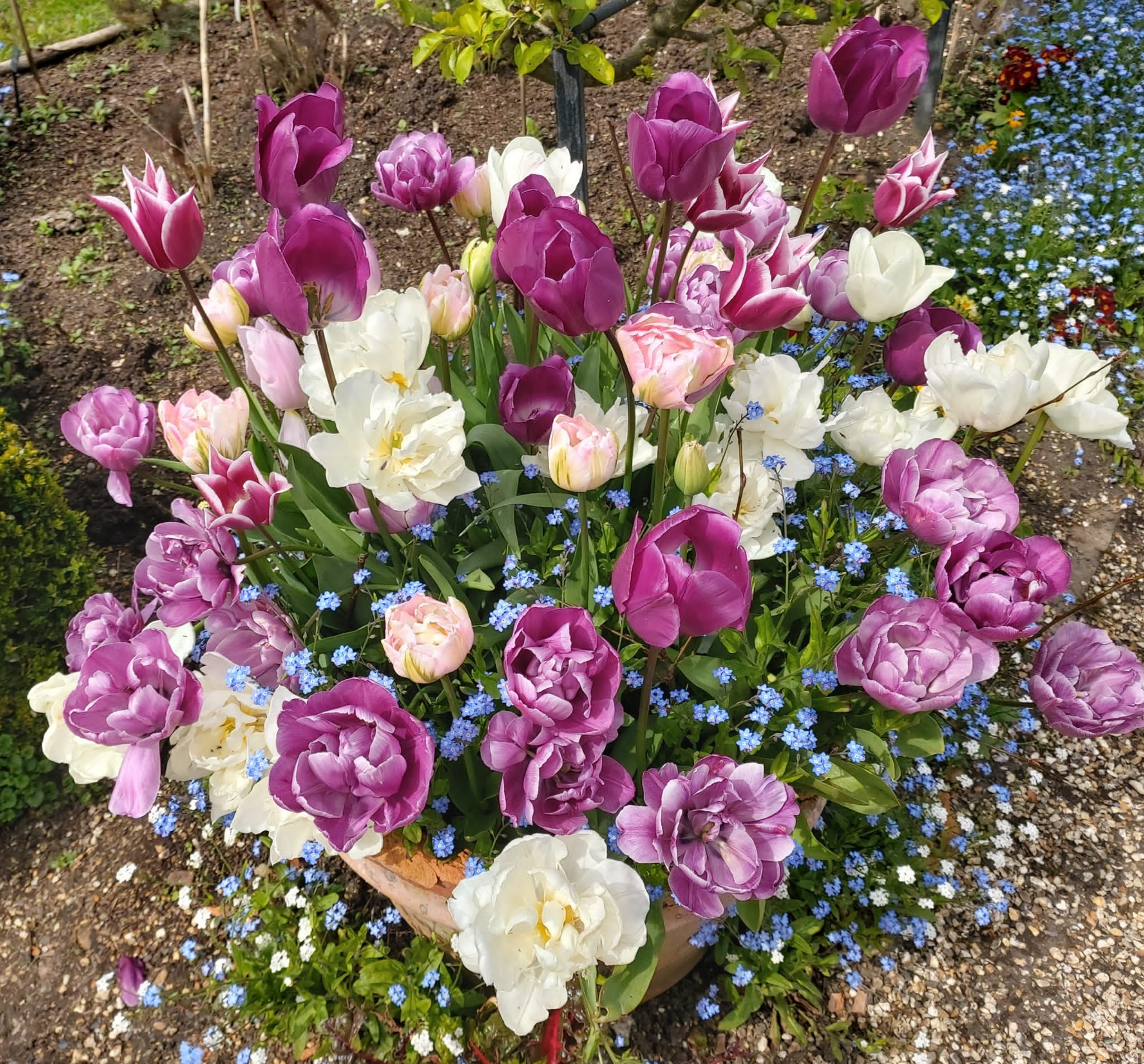
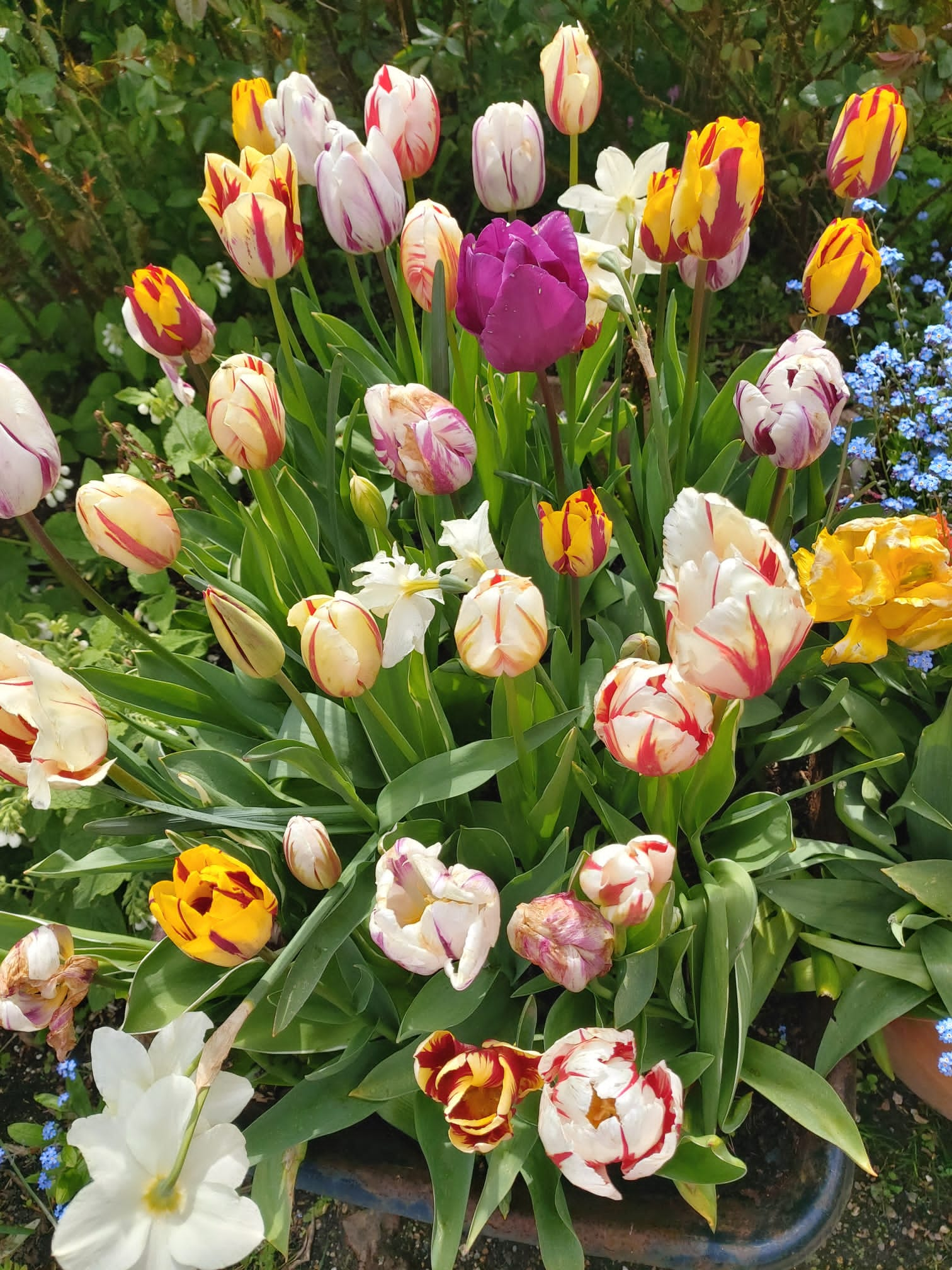
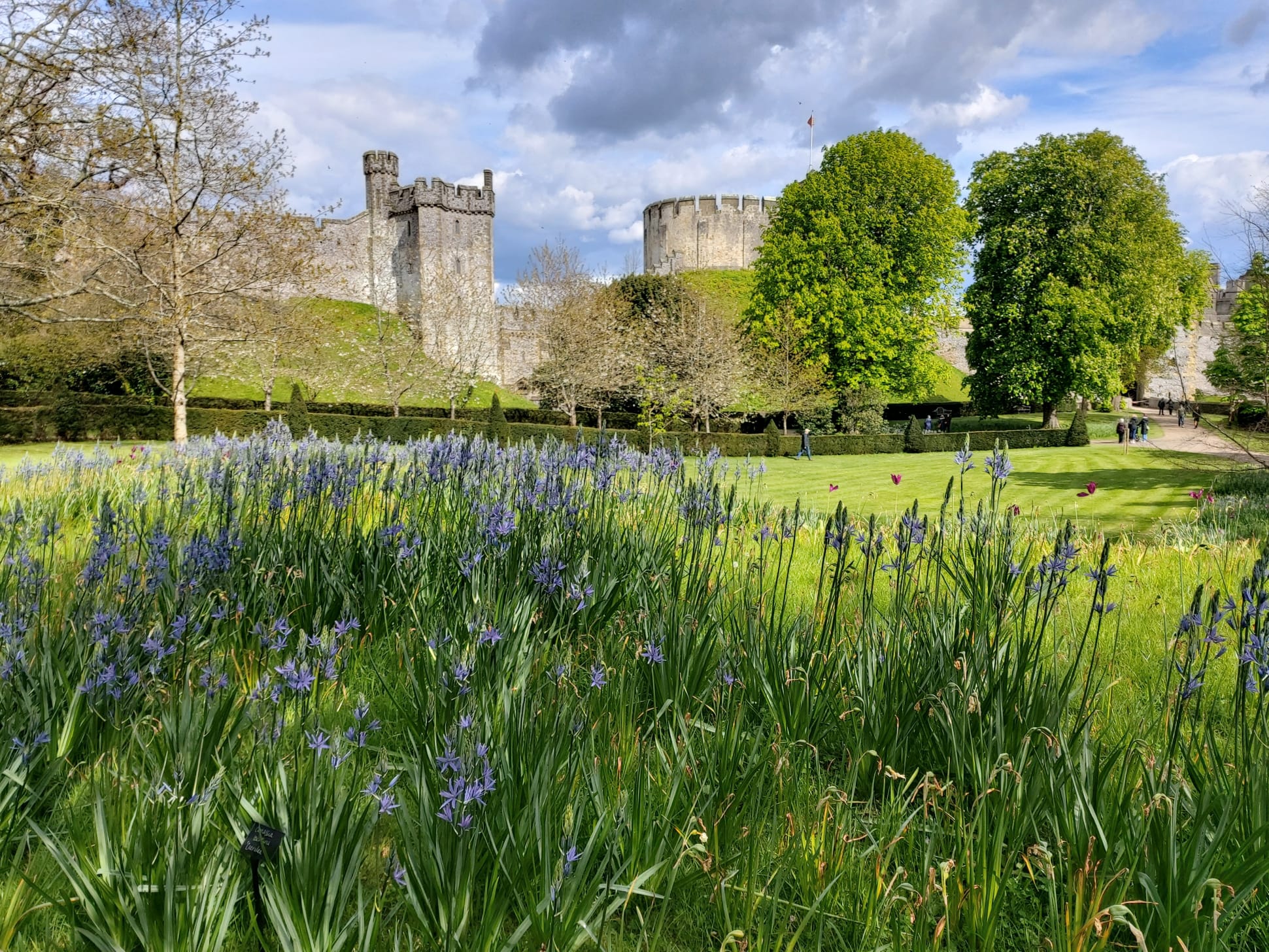
Revitalised, most people then strolled the beautiful castle gardens, to admire the tulips: many big, bold and brassy; others subtly blending into the grass and the swathes of tall, blue camassias; some framing impressive architecture beyond the garden boundaries.
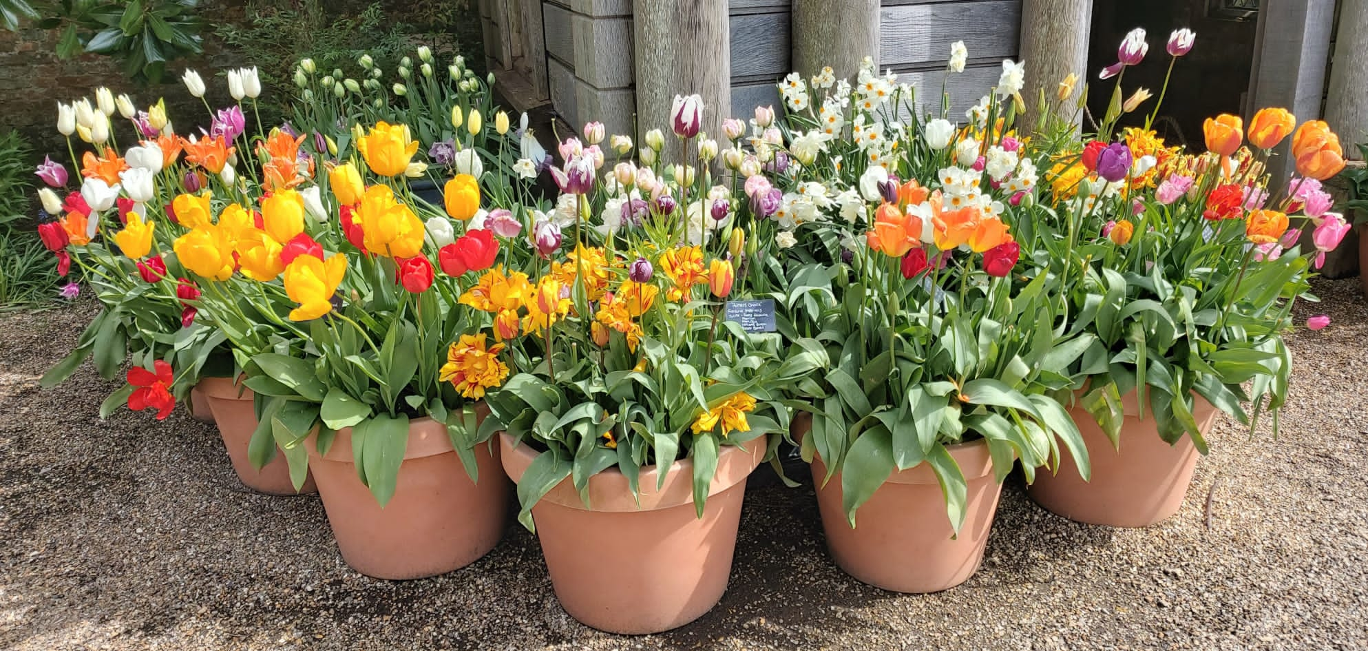

Also not to be missed were the cork trees with their unusual, gnarled bark.
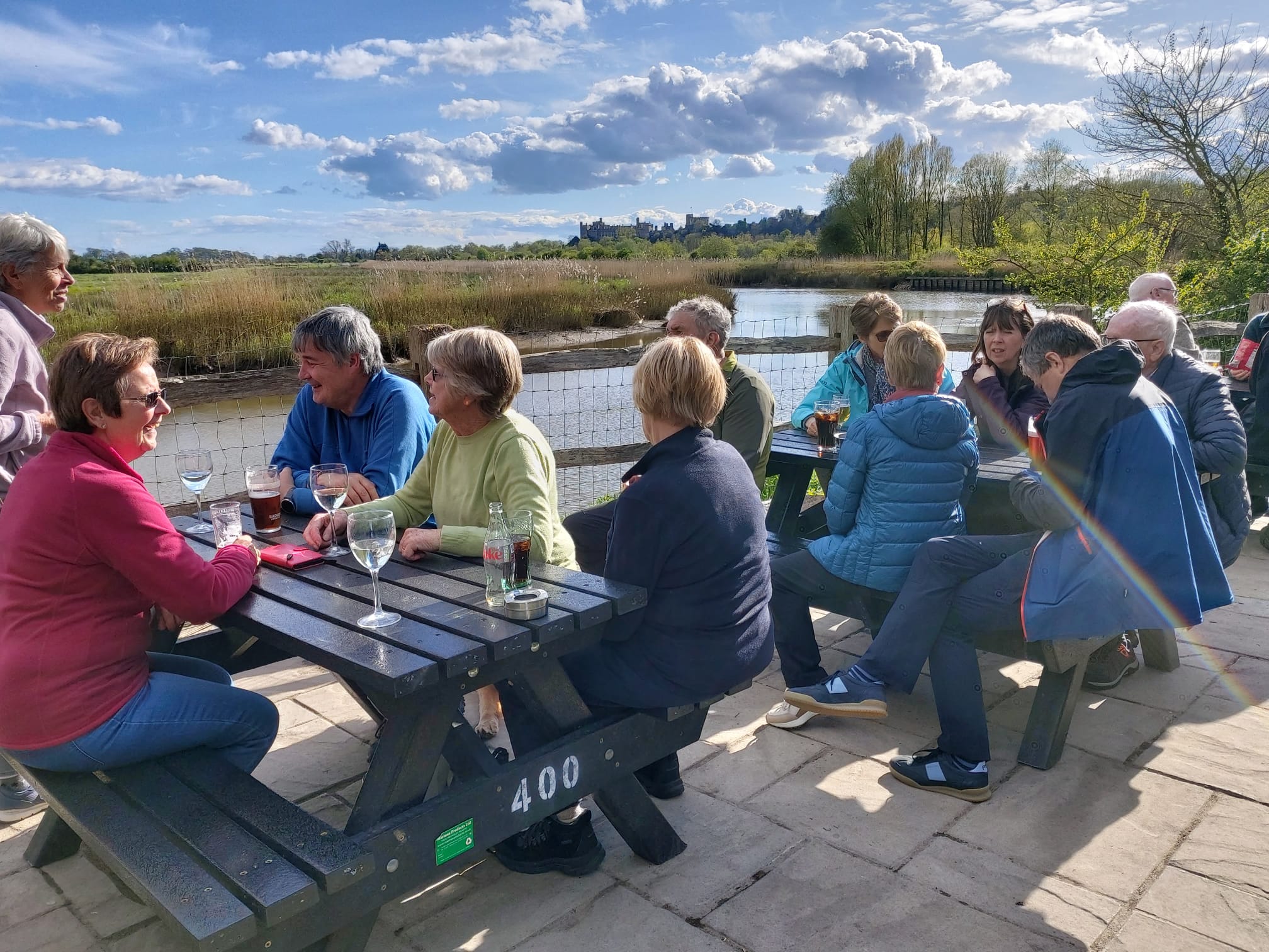
Sufficiently binged on tulips, a group made their way up the hill in the town to the (Catholic) cathedral – a fairly dark, austere building inside and out. By contrast, our next location was bright, breezy and refreshing: the benches outside the Black Rabbit beside the River Arun! Conversation flowed, drinks flowed (except for the drivers) until it was time to sit down inside for a welcome, hearty dinner.
A good time was had by all – and no doubt many walkers will be planting more tulip bulbs this autumn!
Authors and Photographers: Sandy Arpino and Rose Field