6 December 2023

  • Date:                     Wednesday 6 December 2023
  • Leaders:               Gordon Churchill
  • Meet:                    10:15, Petersfield Railway Station Bus Stand F
  • Distance:             4.8 miles

A Bus and Walk Adventure including Petworth House Christmas Decorations

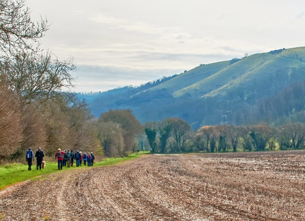
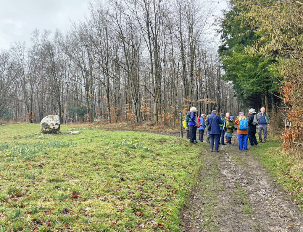
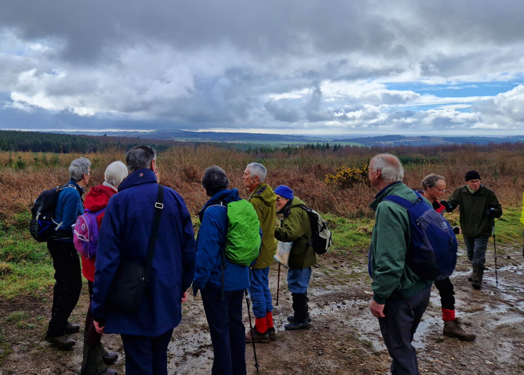
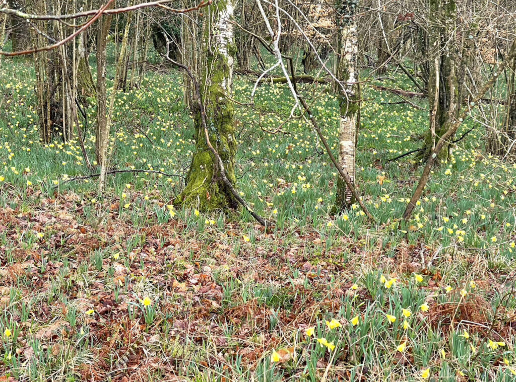
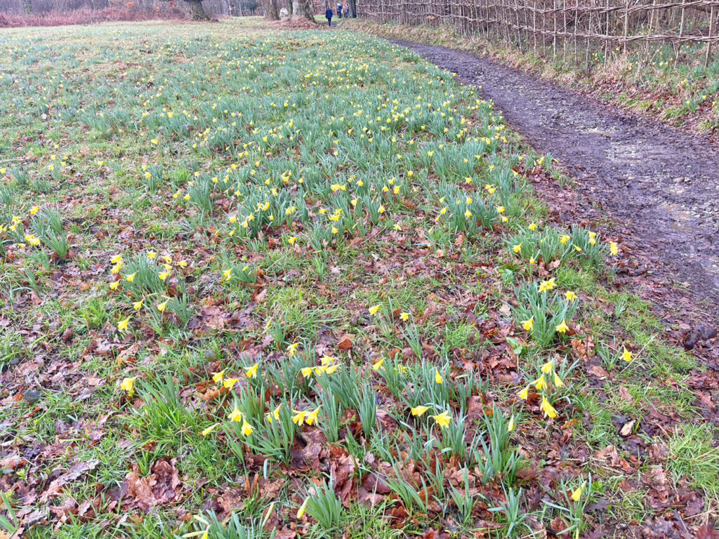
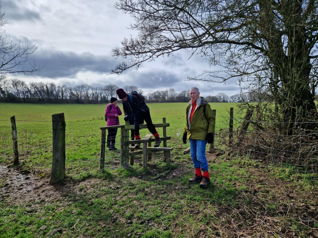
A small group set off by bus to Midhurst where Gordon led a short walk to ascend St Ann’s Hill where we read about the Iron Age fort that dominated the hill.  Later a Norman castle was built, then finally a fortified house with nearby South Pond supplying fish.  We descended steps to reach the footpath alongside the river Rother taking us to the ruins of Cowdray House.  Construction of the house started in about 1520 but it was destroyed by fire in 1793.  We then boarded the bus to Petworth where we enjoyed the Christmas decorations inside Petworth House, a National Trust property, which is set in a 700 acre deer park. 
As well as marvelling at all these historic items, we really did marvel at all the hard work by the volunteers in decorating all the many Christmas trees – really large trees beautifully adorned.

Christmas Feast

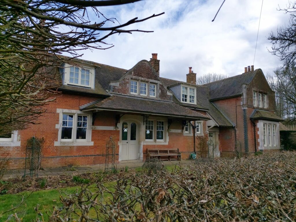
The 17th century house offers an infinity of paintings and sculpture which includes major works by Van Dyck, Turner, Reynolds, and Gainsborough. 

And by Titian, “An Unknown Man in a Black Plumed Hat”

Examples of Grinling Gibbons work in the “Carved Room”

On leaving the house we enjoyed our packed lunches in beautiful Autumnal sunshine while sitting around tables in the forecourt.  Fortified by food, we set out for a walk around part of the parkland, circumnavigating one of the large ponds, and marvelling at the landscaping work of “Capability” Lancelot Brown.  After ascending to the summit of one of the hills we saw a huge herd of deer below us in the distance.

On leaving Petworth House a visit was made to the Parish Church of St Mary the Virgin before waiting for the return bus to Midhurst.  After passing Benbow Pond and the golf course we alighted from the bus at Easebourne.   Our final short walk was through part of the Cowdray estate, and once again past the ruins of Cowdray House, before boarding the bus for Petersfield, having walked a total of about 4.8 miles.

Author: Gordon Churchill

Photography: Mark Lightburn & Flick

(Plus Linda & Paul Farley who couldn’t join the group but visited 2 days later)

Posted in Uncategorized | Comments Off on 6 December 2023

22 November 2023

  • Date:              22 November 2023
  • Distance:      9 miles
  • Start:             10:00 at South Meadow CP GR:  SU696164
  • Leaders:        Chris and Martin

Finally Petersfield Ramblers enjoy a dry walk in November

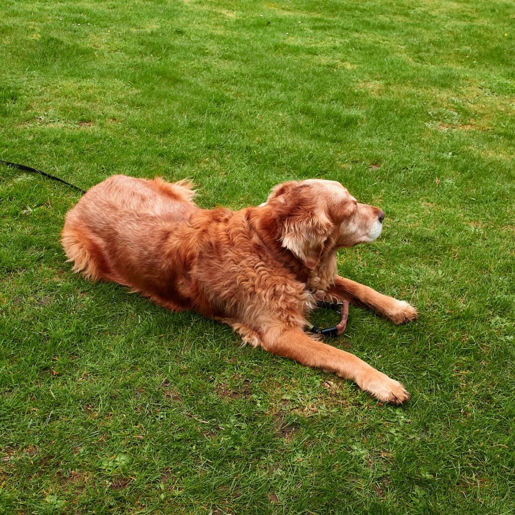
After weeks of wet, cancelled or squelchy walks 18 Ramblers at last gathered in Clanfield – with a dry (if cold) weather forecast – to enjoy a walk without rainwear and wet feet. Unusually the jaunt was led by Pickle – our 4-legged mascot – who executed his responsibilities with remarkable diligence!

It is always tricky to set a walking pace that suits everyone – some like slower, some like faster – but Pickle succeeded in maintaining a speed which satisfied everyone. Quite a notable achievement!

The first segment of the walk took us in a huge loop – across grass, round fields, through woods and along tracks – until we reached the Rising Sun Inn where we stopped for coffee. In truth no one took a great deal of notice of the route as this was our first opportunity in too long to have a good chat. Thankfully Pickle wasn’t side-tracked by all this conversation, staying focused on leading the group. Until that is, he heard pheasants in the undergrowth which proved a major distraction!

On leaving the pub we admired the impressive bells on St James church opposite. Passing Clanfield Junior School, the scout hut and a very striking olive tree outside someone’s house, two dog-themed signs made us chuckle:

The autumn colours were glorious – both in gardens and along the hedgerows – as we made our way through woodland to the South Downs Way. For the third time we passed tractors with massive cutters pruning back the hedgerows, the farmers politely halting operations until we had safely passed.

The views to our right – across the Downs behind Butser Hill – were lovely with rolling landscapes punctuated by stately oaks. Two eagle-eyed Ramblers spotted a caulifower fungi which they harvested for supper, assuring those of us less well informed that it was perfectly safe to eat. Too many of us have watched Midsomer Murders to feel quite so confident!

Cauliflower Fungi

Stopping at the Sustainability Centre for lunch, we enjoyed slices of their delicious (reasonably priced) cakes, alongside lunches from our rucksacks. Revitalised we strolled through the tranquility of the South Downs Natural Burial Site, marvelling at the effort required to dig graves in solid chalk.

As we entered our tenth and final mile, some people were starting to tire. Pickle continued to take his duties seriously, looking behind to check whether walkers were keeping up and adjusting the pace accordingly!

Our thanks to Pickle – and Chris and Martin, of course – for such a lovely walk. We look forward to more.

Pickle

Author and Photographer: Sandy Arpino

Posted in Uncategorized | Comments Off on 22 November 2023

1 November 2023

  • Date:                          1 November 2023
  • Walk Leader:           Flick
  • Distance:                  7 miles
  • Start:                         10:00am, Kilmeston Church GR: SU591 263

We parked at Kilmeston church on the first day of November, the day that the forecasters warned of Storm Ciarán, so it was a party of just 11 of us who braved whatever the weather threw at us on the day.

We did start in rain wearing our full waterproofs, but very soon it cleared and we enjoyed a delightful walk of about 7 miles. Storm, what storm?

We set off in our usual fashion of walking and talking and headed along a muddy lane to the delightful hamlet of Beauworth (pronounced Bewith) which contained some very attractive thatched cottages. Later we headed uphill and came to a building where work was being carried out. It had been a public house called The Milburys where I remember buying a drink and a group of us having our sandwiches on a previous walk – sadly no longer possible. Another pub closed.

Trekking along the South Downs Way and admiring an abundance of berries and colourful leaves still on the trees, we came to a large field where our leader had planned an early lunch stop at the top corner where we could admire the view, but suddenly rain and wind set in, so we carried on for a while until the sun came out, so lunch was eaten and enjoyed.

We came across a field of attractive plants with lovely blue flowers which none of us had seen before. Upon investigation via Google, we discovered that it is called Fittleneck and is related to the borage family. It is apparently very attractive to insects, and it is a good soil improver – you learn something every day! We wondered if the farmers just dig it in to ‘feed’ the next crop?

We arrived back close to our cars, but our leader gave us a choice of walking an extra half mile to the National Trust house of Hinton Ampner for a cup of tea and cake. This was enthusiastically taken up by all!

As always, whatever the weather, it’s always wonderful to be out in the countryside; good for our health, physical and mental.

Author: Sheila Gadd

Photography: Various walkers

Posted in Uncategorized | Comments Off on 1 November 2023

15 October 23

  • Date:               15 October 2023
  • Distance:       9 miles
  • Start:              10:00 St Catherine’s Park & Ride, Winchester
  • Leader:           Sandy Arpino & Lynne Burge

Nine intrepid Ramblers don’t let Storm Babet dampen their enthusiasm

Although Storm Babet – named after a woman who visited an open day at the Dutch weather headquarters (!) – was still crossing the country, nine brave Ramblers stuck to their planned walk along the River Itchen one Saturday in mid-October. There had been heavy rain all night and the forecast was very patchy.

Being a linear walk – from Eastleigh to Winchester – there was the inevitable complexity of how to end up back at our cars when the walk completed. The walk leaders decided to tackle this issue at the beginning (rather than the end) of the walk, so we met in Winchester’s St Catherine’s Park & Ride and took the P&R bus to the city centre. From here a mile’s walking through the inviting market and up a hill led us to Winchester railway station, from where we took a waiting train south to Eastleigh. Our timing was perfect vis-à-vis the weather: the heavens opened as we reached the dry of the station forecourt and the downpour ceased as we disembarked at Eastleigh. A short stretch of pavement delivered us to an extensive recreation park and onwards – finally – to the River Itchen.

Perhaps not unsurprisingly, the normally gentle chalk-stream with its crystal-clear waters had been turned into a murky, raging torrent – and the riverside path was very wet. Thankfully underfoot was firm gravel, though extensive puddles had accumulated which required careful manoeuvring to avoid wet feet. Given the high water levels we were able to observe in action the navigation infrastructure along the river which serves to control flow. Indeed after a few miles walking upstream the waters cleared, held back by a series of weirs. Delightfully the sun broke through the leaden skies for a while, offering us picturesque scenes to photograph.

Once the waters calmed, we encountered groups of water birds, posing amongst the newly emerged autumn colours.

After passing Compton Lock – where families paddle on summer days – and taking a tunnel under the noisy M3, we forked left to follow the westerly side of water meadows to the Hospital of St Cross. Not a hospital in the modern sense, St Cross is an alms-house, founded in 1130 by the Bishop of Winchester, to provide charitable support for those in financial or physical difficulty. Today the Hospital still offers a home to 25 Brothers in its beautiful almshouses. Its striking Norman church impresses by its setting, size and simplicity.

Rain began to fall quite heavily as we approached St Cross so we hurried for the cover inside where we enjoyed our lunch. Some of us bought tasty tea, coffee and cake from the inviting cafe, while others participated in Wayfarers’ Dole. The tradition of Dole at St Cross – the giving of refreshment to travellers – dates back nearly 900 years. Modern travellers like ourselves can request Dole, receiving a small tumbler of pleasant ale and a little square of bread.

Reinvigorated – and with the rain reduced to a light shower – we strode back to the P&R and our cars. Setting off for home, we were grateful that the storm had been kind to us – and pleased that we had braved the elements for an interesting walk.

Author:  Sandy Arpino

Photography: mostly Sandy Arpino plus a few extra from Linda & Paul Farley

Posted in Uncategorized | Comments Off on 15 October 23

Annual Holiday 2023 Day 3

  • Annual Holiday:         Church Stretton, Shropshire
  • Date:                             October 2023, DAY 3
  • Distance:                     12.5 Miles

Our third and final walk took us to the Long Mynd, from which our HF holiday residence (Longmynd House) takes its name. The Longmynd – meaning ‘long mountain’ – is a heath and moorland plateau that forms part of the Shropshire Hills. It is approximately 7 miles long by 3 miles wide, running broadly north to south, and is characterised by steep valleys on its eastern flanks and a long slope to the western side. The high ground is common land and is a designated Area of Outstanding Natural Beauty. Much of it is owned by the National Trust and is managed by the Longmynd Commoners.

As the walk had been billed as more challenging than previous days (12.5 miles with 2,400ft ascent) and the weather forecast was for rain, a smaller group than normal gathered at 9:15 to head out from the house. Through almost 2 hours of persistent heavy drizzle, 8 walkers plus our leader – Edward – trudged to Little Stretton then up wooded slopes leading to a very steep climb through moorland to the top of Longmynd and beyond. Only on stopping to look back did we appreciate the impressive valley up which we had scrambled.

Before the commencement of the vast heather and bilberry moorland, we ascended through sheep fields where we watched a mighty ram saunter casually amongst his ewes, sniffing them for signs of interest! Further along – to our surprise – one ewe decided to join our ramble, trotting boldly within our midst for some distance! There was a fast-flowing stream to be crossed – luckily via a small bridge so our feet stayed dry, unlike the rest of us.

It transpired that Edward worked for the National Trust in the area so he was able to explain how the terrain was managed to preserve the biodiversity while accommodating the Commoners’ right to graze animals on the moor. Apparently the bracken on steeper slopes – which had been scythed until very recently – was now cut by robotic machines … though not always very successfully. Three robot cutters had to date tumbled down the slopes and been destroyed!

On reaching the top of the plateau we were met by a biting wind, adding coldness to our already quite damp selves. On we plodded – heads down, conversation muted – to a promised shelter at Pole Bank, the highest point on the Longmynd at 1,693ft. With great relief we bundled into the spacious shelter – made by Edward’s NT team from wooden trusses and corrugated iron – grateful to be out of the wind and rain. Warmed and refreshed from coffee and flapjack, we emerged into the elements to find that, fortunately, the showers had finally stopped. Rejuvenated we marched to the inevitable trig point, from where we could look westwards to the Stiperstone hills where we’d walked the day before. Edward described to us the Stepping Stones NT project that was developing a natural corridor from the Stiperstones to the Longmynd, working with local farmers, to enable species to move more easily between the two sets of hills.

From the trig point we took a steep descent off the Longmynd, crossing another stream. Alas, this time there was no bridge. Running through the water, unsurprisingly we got wet feet … just when the rest of us was at last drying out! We had lunch down in a valley before turning towards the Longmynd again for a long haul back up to the ridge, enjoying stunning views behind us. Crossing a remote farmyard on the way we encountered another four-legged friend who was keen to become a member of our party: this time a lovely black cat.

The trek across the Longmynd moor was fabulous: remote, wild, vast, on top of the world. As we approached the eastern flanks, three handsome horses grabbed our attention. They lived wild on the plateau, enjoying the Commoners’ grazing rights – rather like New Forest ponies.

And the best came last – not just of the day but of the whole holiday: Town Brook Valley. It left us breathless. Such a dull, matter-of-fact name for such a stupendous sight. After soaking in the magnificent view for some time, we began the long, steady descent down the sloping valley walls and back to Longmynd House.

Author and Photographer: Sandy Arpino

Posted in Uncategorized | Comments Off on Annual Holiday 2023 Day 3

Annual Holiday 2023 Day 2

  • Annual Holiday:         Church Stretton, Shropshire
  • Date:                             October 2023, DAY 2
  • Distance:                     10.5 Miles

Day 2 began with a coach ride for all walkers, taking us through the countryside towards the Stiperstones. We were deposited near to Mitchell’s Fold Stone Circle. It was constructed in the Bronze Age, over 3000 years ago. They think there was up to 30 stones originally, but today there are 15.

Part of the Stone Circle

The longer distance walkers set off on their 10.5 mile walk across the land near to the circle and over the moorland. Initially the land was flat, so made for easy walking to wake the muscles up. At times it was wet and boggy, also the ground was tufted and difficult to walk across. Apart from those problems we gently made our way along, down and up the paths. Various stiles got in the way, but nothing noteworthy happened. After coffee we crossed a main road and started on an upward trajectory.

A wooden rickety bridge had to be tackled, leading us over a gushing stream and through someone’s garden. I say garden, but it was basically a small field next to the stream with various picnic tables in it. After passing a few holiday cottages we came to two large fields with cows grazing gently in them. Surprisingly the problem we encountered as not the cows but the stiles and mud around the gates. Not easy. The stiles were well past their best and the cows had churned up the land around them. Result = 14 muddy walkers.

Mud!
The way ahead

Stopping for lunch in a field we were astounded to see a Rowan tree growing out of the split trunk of another, unidentified, tree. It looked very healthy and even had red berries growing! Then began the long ascent up to the Stiperstones. Lead mining took places in this area (though we didn’t see any evidence of this) and it is badged as an iconic upland landscape with quartzite outcrops.

Some of the Stiperstones

What we did notice was the rugged nature of the path. No time to admire the view, all concentration was needed on the path as it was strewn with large stones and rocks- an easy place to trip and break an ankle. We picked our way carefully up and up, watching our feet assiduously until we reached the stones. There were several outcrops of them culminating with the Devil’s Armchair, a tall outcrop of rock with a gap in the middle.

Devil’s Armchair

Thankfully the path began to ease, we reached a large cairn and started our descent. This proved to be muddy and lumpy bumpy. Again great care was taken, holding in check our desire to rush down to the village of Stiper to avail ourselves of refreshment in the pub. Eventually we made it down in time to board the bus and enjoy being ferried back to the hotel.

Panorama

An exhilarating, windy, challenging walk with fantastic panoramas.

Author & Photographer: Lynne Burge

Posted in Uncategorized | Comments Off on Annual Holiday 2023 Day 2

Annual Holiday 2023 Day 1

  • Annual Holiday:         Church Stretton, Shropshire
  • Date:                           October 2023, DAY 1
Ready to Roll

During the briefing for Walk 2 (Hope Bowdler and Ragleth) on our first walking day, leader Edward told us about wood sculptures in the woodland gardens of Longmynd House which were carved by David Bytheway. What an interesting name is ‘Bytheway’!

We walked through Little Stretton past some wonderful half-timbered very old houses, braved the fast traffic on the A49 and ascended Ragleth Hill, and the promised ‘sharp ascent’ did not disappoint! We took it slowly, stopping at intervals to enjoy the view behind and catch our breath.

Excellent views all around

The views from the top were, well, breathtaking! On our way up we passed a gravestone for Craig Bullock who had been killed riding his motorbike in 1972, seemingly on his way home from the pub which may explain his demise.

Memorial to Craig Bullock

Walking along the top we came across some badger-faced sheep. Not seen these before so I tried to take a photo but only succeeded in getting a shop of their bottoms! We had wonderful views of the Shropshire Hills, many high peaks and grassy slopes, and Wales beyond. It was sunny, windy and stunning!

! We descended into the Chelmick Valley and to the village of Hope Bowdler and later on to The Vending Hut which had been set up by a local farming family which gave us access to coffee and ice creams, and we made good use of it.

The vending hut

Heading back, some of us enjoyed the delights of the charity shops in Church Stretton and parted with some money to aid the local economy! A delightful day.

Author & Photographer: Sheila Gadd

Posted in Uncategorized | Comments Off on Annual Holiday 2023 Day 1

15 September 2023

  • Date:                           15 September 2023
  • Walk Participants:     Lynne Burge, Sandy Arpino & Lesley Stapley
  • Distance:                     17 Miles

Day 4 Blakeney to Cromer, 17 miles

What a day of contrasts! From the boats of Blakeney amid the continuing endless salt marshes, through the miles of shingle banks as we plodded our way along the coast, to grassy clifftops with wide ranging views to eventually the ‘I do like to be beside the seaside’ at Cromer.

To start, the weather was calm and balmy in the early morning as we set off on what we knew was going to be a long and challenging walk. Another raised sea wall took us out of Blakeney towards the sea. As the tide was in we could witness the glistening of the channels of water all around us, with the reeds swaying gently in the breeze. It seemed yet another graveyard for unwanted boats as we saw several just slowly mouldering into the surrounding mud. Making our way out, along and then back in towards the land, in a big C shape, was a delightful way to begin. Heading towards the windmill of Cley, through the village, and then, gallingly, back parallel to the inland path we had just taken. This was necessary as the local river had been diverted inland and we had to walk to the road to cross the river. They are trying to prevent the beach being breached causing an influx of salty, brine water into a freshwater area.

Derelict boat

At Cley there was a magnificent windmill, sadly no longer used to pump water, but now a highly desirable wedding venue and hotel. We sat and gazed rapt it for a while, with local boats bobbing quietly on the inlet eat of water. Then it was off along the raised bank again to the sea and the shingle. Passing some birders on the beach who made it evident we were not a welcome addition we passed by.

Birders
Cley-next-the-Sea Windmill

Walking on the shingle was hard going and soon we drifted down to the sea shore where the tide was retreating, leaving patches of sand to walk on. We soldiered on for a couple of miles and sat for a rest. As we did a seal tantalisingly popped its head above the water then disappeared again. We sat avidly waiting for it to reappear which it did sporadically. At last he was caught on camera, but only just- the photo is a ‘where’s the seal?’

The endless shingle
Spot the seal

Further down we came across more evidence of this area being used for military training during the wars, pill boxes and some gun emplacements could be seen- thankfully no longer used. Eventually we were able to move off the beach onto the cliff path, a much easier walking environment. From here we had beautiful views of the beach which quickly turned from stones to sand and patches of rock. Sadly we had a few hills (well, to be honest, more like small hummocks!) to negotiate. I think we climbed all of 471ft, but that did contrast to the other stages where we only gained 200ft or less.

One of the caravan parks

Then we began to spy Cromer, or to be frank, the many caravan parks that surround the town. We walked up to them, along side them, through them and then out of them as we gained the town. By this time we were flagging after such a long and hard walk, we were grateful that we were reaching our goal and longing for that cup of tea when we were at our hotel. Taking time to admire the pier and the goats used to much the grass in some steep slopes we headed off for a shower, cup of tea and supper.
The end of 4 days of walking in improving weather – well, the first day couldn’t have been wetter- and what a great experience. The views, the ecology, the birds (not as many as we hoped) and the company all made it a fantastic journey.

Not a bird but a goat!
Cromer Beach

Author & Photographer: Lynne Burge

Posted in Uncategorized | Comments Off on 15 September 2023

14 September 2023

  • Date:                           14 September 2023
  • Walk Participants:     Lynne Burge, Sandy Arpino & Lesley Stapley
  • Distance:                     9 Miles

Day 3 Wells-next-the-Sea to Blakeney, 9 miles

Leaving the boats of Wells behind us we set off along the coastal path between the green of the land and the inevitable marsh land to our left. To get there we had to negotiate a muddy track past crumbling outbuildings which held the accoutrements of the local fishing trade. There was even a tiny ships chandlery, blink and you missed it but there were a few items for sale seen through a grubby window.

The dilapidated fishing buildings

Off along the shoreline we went, hoping to see a myriad of different seabirds but we were disappointed with the masses of seagulls and very little else. As we made progress towards Stiffkey evidence of the military use of this area became apparent. A small pillbox hid in the long grass, concrete paths appeared and disappeared, a straightened length of waterway was seen plus various roads/paths extending out into the marshlands.

The pillbox hiding in the grass

Alongside the path was a wealth of fruit- hips, haws and bushes of blackberries- were everywhere. A great place to walk if you enjoy blackberry and apple crumble! Then we came to Stiffkey Quay, the village was hiding slightly inland. It boasted the fact that Henry Williamson, who wrote Tarka the Otter, lived there during WWII.

The abundant hedgerows

The path then became a little boggy in places, but nothing that could not be by passed in a variety of ways. Around this area there were many people having parked locally and hoping to glimpse the seabirds through their binoculars. After a stop on a set of steps above Freshes Lake where we witnessed Belted Galloways grazing happily on the grass we made our way to Morston. Here there was a very welcome seating area, cafe and toilets which we availed ourselves of. Being in no rush as we were only walking 9 miles today we leisurely sat to eat our lunch and soak up the atmosphere at this National Trust site.

Boats stored at Morston Quay

Eventually we decided to soldier on for the last mile and a half to get to Blakeney. Most of the time it was along the raised sea defences and we could see the houses of the village getting closer. As we walked onto the quayside we saw benches and people sitting on them enjoying an ice cream in the warm weather. We walked past the buildings there were several plaques showing how high the water had risen in different years. Up the High Street towards our accommodation for the night we saw the delights of the village houses. All with huge pebbles on their walls and many little snickets off the road to cottages at the back of others. A charming little place. Time for a good rest before a long day tomorrow.

Wow, some floods!
Village sign

Author & Photographer: Lynne Burge

Posted in Uncategorized | Comments Off on 14 September 2023

13 September 2023

  • Date:                           13 September 2023
  • Walk Participants:     Lynne Burge, Sandy Arpino & Lesley Stapley
  • Distance:                     14+ Miles

Day 2 Brancaster to Wells-next-the Sea, 13 miles

Well, the day dawned brighter than yesterday, though that would not have been difficult. The sun was in the sky as the taxi driver picked us up to take us back to where we left off yesterday- namely Brancaster.

We walked back down the lane to the coastal path and prepared to set off. Problem. There was a sign saying path closed as there were 83 faults with the boardwalk. Ignoring this missive, as many other walkers seem to have done we set along it and yes, there were areas you had to be careful in where the wood had rotted, but it was passable. We made our way along the path at the ends of the gardens from houses in the village. They were huge gardens, but afforded no glimpse of the sea due to the vast extent of the Brancaster Marsh.

Does someone live here?

At one stage we came across an area dedicated to boats and sailing, with an activity centre alongside. We passed between the various buildings towards the end of this part of the walk. The boardwalk and ended and it became a regular path, still at the end of long gardens. Reed beds abounded along with a fair few derelict boats left in various places to decay quietly into the mud.

Rotting ship

Eventually we started to walk along a raised bank which was the sea defences. This bank took us out away from the habitable land, between Deepdale Marsh and Scolt Head Island Nature Reserve. It was initially interesting but 2-3 miles of walking along the raised pathway with either reeds or mud on either side palled after a while. A windmill gradually came into view, we knew that was the point at which we left behind this tiresome stretch, but it was one of those illusions- it never seemed to get closer. All good things must come to an end and we reached the main road and the windmill, which is a holiday home.

The Windmill
Getting low to photograph the reeds

After a pit stop in the local pub (only tea was drunk) we continued on another, but more interesting raised path. We could see more water channels here where boats would, at the right stage of the tide, sail out to sea. Except up until now we hadn’t been able to see the sea it was so far away due to the extensive marshes. Nothing daunted we came to a huge are of sand dunes. Picking our way carefully along and through them we eventually reached the beach. It was enormous! It stretched for miles in both directions, with the sea still some distance away as the tide was out. We ambled along looking at the shells that littered the sand, admiring the vastness of it all and enjoying listening to the splashing of the waves. It was a delightful time. We sat and just admired the beach.

The Dunes

We made our way to Holkham Gap. We knew we were going in the right direction because there were many more people as there was a large car park close to the beach. Following the path that led away from the beach we reached the car park and then turned along the coast behind a large stand of conifers and mixed trees. The path was easy to walk on, the sun was shining and the end of the walk was not too far away.

A caravan park came into sight and we knew we would soon reach Wells-next-the-Sea. A large car park was situated near the sea with the inevitable ice cream sellers and cafes. We walked along the raised track that at one time took a miniature railway from the heart of the town out to the beach. It gave us good views of the town and the inevitable marshes off to our right. Wending our way through the town, past restored buildings now housing flats and holiday lets, we made our way to our B and B, thankfully sitting down for a rest after our 14+ miles of walking.

Wells-Next-The-Sea

Tomorrow is another day and only 8 miles- can’t wait!

Author & Photographer: Lynne Burge

Posted in Uncategorized | Comments Off on 13 September 2023